Distance to Cave City, California

Calculating Your Route
Just a moment while we process your request...
Location Information
-
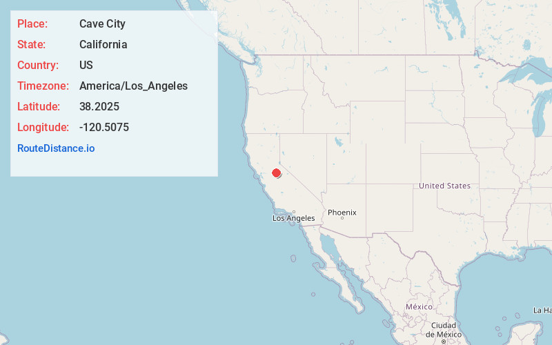
Full AddressCave City, CA 95246
-
Coordinates38.2025, -120.5075
-
LocationCave City , California , US
-
TimezoneAmerica/Los_Angeles
-
Current Local Time12:59:06 PM America/Los_AngelesFriday, May 30, 2025
-
Page Views0
About Cave City
Cave City is an unincorporated community in Calaveras County, California. It lies at an elevation of 1,617 feet and is located at 38°12′09″N 120°30′31″W. The community is in ZIP code 95222 and area code 209.
Like most communities in Calaveras County, Cave City began as a mining town.
Nearby Places
Found 10 places within 50 miles

Mountain Ranch
2.6 mi
4.2 km
Mountain Ranch, CA 95246
Get directions

Murphys
5.2 mi
8.4 km
Murphys, CA
Get directions

La Honda Park
5.7 mi
9.2 km
La Honda Park, CA 95222
Get directions
Forest Meadows
6.0 mi
9.7 km
Forest Meadows, CA 95247
Get directions

Avery
7.5 mi
12.1 km
Avery, CA
Get directions

Vallecito
8.0 mi
12.9 km
Vallecito, CA
Get directions

Arnold
9.2 mi
14.8 km
Arnold, CA 95223
Get directions
Jesus Maria
9.3 mi
15.0 km
Jesus Maria, CA 95245
Get directions

San Andreas
9.4 mi
15.1 km
San Andreas, CA 95249
Get directions

Angels Camp
9.5 mi
15.3 km
Angels Camp, CA 95222
Get directions
Location Links
Local Weather
Weather Information
Coming soon!
Location Map
Static map view of Cave City, California
Browse Places by Distance
Places within specific distances from Cave City
Short Distances
Long Distances
Click any distance to see all places within that range from Cave City. Distances shown in miles (1 mile ≈ 1.61 kilometers).