Distance to Forest Meadows, California

Calculating Your Route
Just a moment while we process your request...
Location Information
-
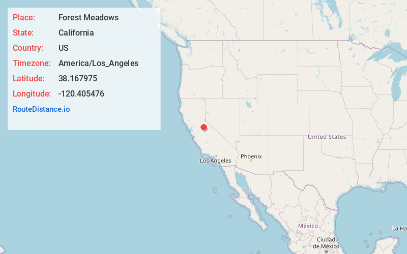
Full AddressForest Meadows, CA 95247
-
Coordinates38.1679751, -120.4054756
-
LocationForest Meadows , California , US
-
TimezoneAmerica/Los_Angeles
-
Current Local Time1:39:21 PM America/Los_AngelesThursday, June 19, 2025
-
Page Views0
About Forest Meadows
Forest Meadows is a census-designated place in Calaveras County, California, United States. The population was 1,249 at the 2010 census, up from 1,197 at the 2000 census.
Nearby Places
Found 10 places within 50 miles

Murphys
3.6 mi
5.8 km
Murphys, CA
Get directions

Arnold
6.7 mi
10.8 km
Arnold, CA 95223
Get directions

Columbia
9.1 mi
14.6 km
Columbia, CA
Get directions

Angels Camp
10.0 mi
16.1 km
Angels Camp, CA 95222
Get directions

Cedar Ridge
10.4 mi
16.7 km
Cedar Ridge, CA 95370
Get directions

Phoenix Lake
12.6 mi
20.3 km
Phoenix Lake, CA 95370
Get directions

Sonora
12.8 mi
20.6 km
Sonora, CA 95370
Get directions

Twain Harte
13.1 mi
21.1 km
Twain Harte, CA
Get directions
East Sonora
13.4 mi
21.6 km
East Sonora, CA 95370
Get directions

Mono Vista
13.9 mi
22.4 km
Mono Vista, CA 95370
Get directions
Location Links
Local Weather
Weather Information
Coming soon!
Location Map
Static map view of Forest Meadows, California
Browse Places by Distance
Places within specific distances from Forest Meadows
Short Distances
Long Distances
Click any distance to see all places within that range from Forest Meadows. Distances shown in miles (1 mile ≈ 1.61 kilometers).