Distance to Cave-In-Rock, Illinois

Calculating Your Route
Just a moment while we process your request...
Location Information
-
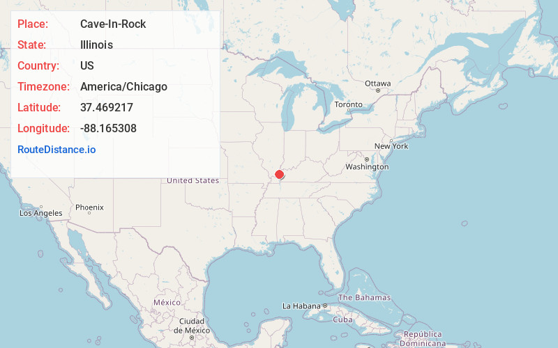
Full AddressCave-In-Rock, IL 62919
-
Coordinates37.4692168, -88.1653082
-
LocationCave-In-Rock , Illinois , US
-
TimezoneAmerica/Chicago
-
Current Local Time3:54:59 AM America/ChicagoTuesday, June 3, 2025
-
Page Views0
About Cave-In-Rock
Cave-In-Rock is a village in Hardin County, Illinois, United States. Its principal feature and tourist attraction is nearby Cave-In-Rock, on the banks of the Ohio River. In 1816, the earliest known permanent white settlers arrived and started building a town near the cave.


Nearby Places
Found 10 places within 50 miles

Elizabethtown
7.8 mi
12.6 km
Elizabethtown, IL 62931
Get directions

Rosiclare
10.4 mi
16.7 km
Rosiclare, IL 62982
Get directions

Marion
10.5 mi
16.9 km
Marion, KY 42064
Get directions

Sturgis
11.3 mi
18.2 km
Sturgis, KY 42459
Get directions

Salem
14.8 mi
23.8 km
Salem, KY 42078
Get directions

Shawneetown
16.9 mi
27.2 km
Shawneetown, IL 62984
Get directions

Clay
18.9 mi
30.4 km
Clay, KY 42404
Get directions

Golconda
19.0 mi
30.6 km
Golconda, IL
Get directions

Fredonia
19.0 mi
30.6 km
Fredonia, KY 42411
Get directions

Morganfield
20.1 mi
32.3 km
Morganfield, KY 42437
Get directions
Location Links
Local Weather
Weather Information
Coming soon!
Location Map
Static map view of Cave-In-Rock, Illinois
Browse Places by Distance
Places within specific distances from Cave-In-Rock
Short Distances
Long Distances
Click any distance to see all places within that range from Cave-In-Rock. Distances shown in miles (1 mile ≈ 1.61 kilometers).