Distance to Cave Springs Public Schools, Oklahoma

Calculating Your Route
Just a moment while we process your request...
Location Information
-
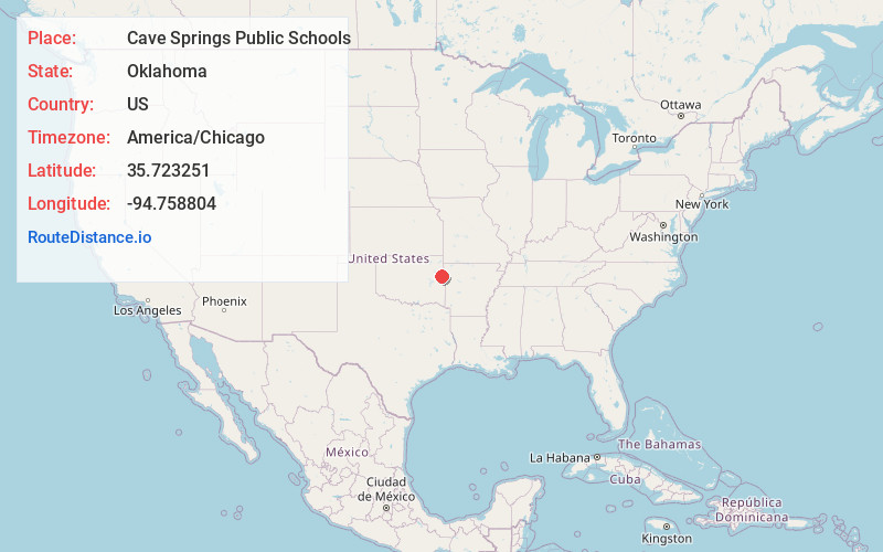
Full AddressCave Springs Public Schools, OK
-
Coordinates35.7232512, -94.7588042
-
LocationOklahoma , US
-
TimezoneAmerica/Chicago
-
Current Local Time5:08:53 AM America/ChicagoWednesday, June 18, 2025
-
Website
-
Page Views0
Nearby Places
Found 10 places within 50 miles

Greasy
5.1 mi
8.2 km
Greasy, OK 74955
Get directions
Lyons Switch
5.2 mi
8.4 km
Lyons Switch, OK
Get directions
Rocky Mountain
5.7 mi
9.2 km
Rocky Mountain, OK
Get directions
Barber
6.5 mi
10.5 km
Barber, OK 74471
Get directions

Cherry Tree
7.3 mi
11.7 km
Cherry Tree, OK 74960
Get directions
Flute Springs
7.6 mi
12.2 km
Flute Springs, OK
Get directions

Tenkiller
8.0 mi
12.9 km
Tenkiller, OK
Get directions

Cookson
9.1 mi
14.6 km
Cookson, OK
Get directions
Wauhillau
9.2 mi
14.8 km
Wauhillau, OK
Get directions

Stilwell
9.6 mi
15.4 km
Stilwell, OK 74960
Get directions
Location Links
Local Weather
Weather Information
Coming soon!
Location Map
Static map view of Cave Springs Public Schools, Oklahoma
Browse Places by Distance
Places within specific distances from Cave Springs Public Schools
Short Distances
Long Distances
Click any distance to see all places within that range from Cave Springs Public Schools. Distances shown in miles (1 mile ≈ 1.61 kilometers).