Distance to and from Barber, Oklahoma
Barber, OK 74471
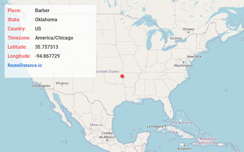
Barber
Oklahoma
US
America/Chicago
Location Information
-
Full AddressBarber, OK 74471
-
Coordinates35.7573133, -94.8677286
-
LocationBarber , Oklahoma , US
-
TimezoneAmerica/Chicago
-
Current Local Time10:48:17 AM America/ChicagoMonday, May 5, 2025
-
Page Views0
Directions to Nearest Cities
About Barber
Barber is an unincorporated community and census-designated place in Cherokee County, Oklahoma, United States, in the Cherokee Nation. It was first listed as a CDP prior to the 2020 census.
Nearby Places
Found 10 places within 50 miles

Cookson
4.3 mi
6.9 km
Cookson, OK
Get directions

Pettit
4.4 mi
7.1 km
Pettit, OK 74451
Get directions

Keys
6.3 mi
10.1 km
Keys, OK
Get directions
Rocky Mountain
6.5 mi
10.5 km
Rocky Mountain, OK
Get directions

Welling
7.9 mi
12.7 km
Welling, OK
Get directions
Wauhillau
8.6 mi
13.8 km
Wauhillau, OK
Get directions
Park Hill
8.8 mi
14.2 km
Park Hill, OK
Get directions
Evening Shade
9.8 mi
15.8 km
Evening Shade, OK
Get directions
Lyons Switch
10.0 mi
16.1 km
Lyons Switch, OK
Get directions

Zeb
10.6 mi
17.1 km
Zeb, OK 74464
Get directions
Cookson
4.3 mi
6.9 km
Cookson, OK
Pettit
4.4 mi
7.1 km
Pettit, OK 74451
Keys
6.3 mi
10.1 km
Keys, OK
Rocky Mountain
6.5 mi
10.5 km
Rocky Mountain, OK
Welling
7.9 mi
12.7 km
Welling, OK
Wauhillau
8.6 mi
13.8 km
Wauhillau, OK
Park Hill
8.8 mi
14.2 km
Park Hill, OK
Evening Shade
9.8 mi
15.8 km
Evening Shade, OK
Lyons Switch
10.0 mi
16.1 km
Lyons Switch, OK
Zeb
10.6 mi
17.1 km
Zeb, OK 74464
Location Links
Local Weather
Weather Information
Coming soon!
Location Map
Static map view of Barber, Oklahoma
Browse Places by Distance
Places within specific distances from Barber
Short Distances
Long Distances
Click any distance to see all places within that range from Barber. Distances shown in miles (1 mile ≈ 1.61 kilometers).