Distance to Cecilville, California

Calculating Your Route
Just a moment while we process your request...
Location Information
-
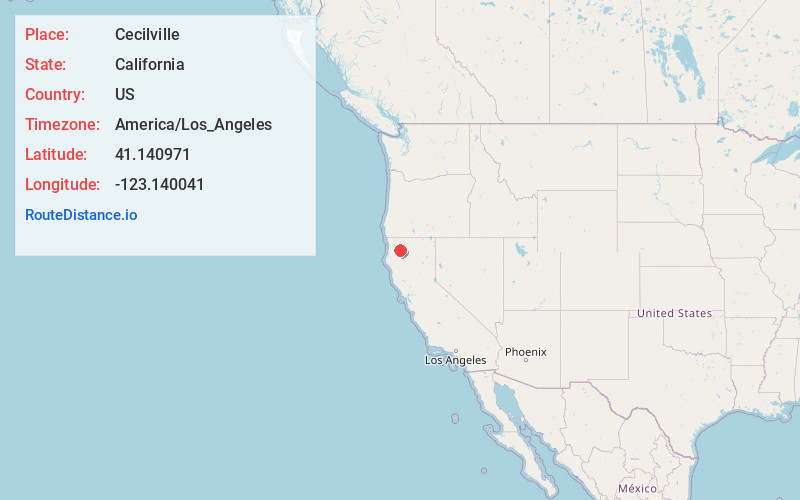
Full AddressCecilville, CA 96031
-
Coordinates41.1409709, -123.1400409
-
LocationCecilville , California , US
-
TimezoneAmerica/Los_Angeles
-
Current Local Time2:09:33 PM America/Los_AngelesFriday, May 30, 2025
-
Page Views0
About Cecilville
Cecilville is a small unincorporated community in Siskiyou County, California, United States. It is on the south fork of the Salmon River and was established when the area was settled by miners during the Gold Rush. The community was named for a prospector.
Nearby Places
Found 10 places within 50 miles

Trinity Alps
10.8 mi
17.4 km
Trinity Alps, California 96048
Get directions

Bestville
11.0 mi
17.7 km
Bestville, CA 96027
Get directions
Coffee
19.0 mi
30.6 km
Coffee, CA 96091
Get directions

Dedrick
20.0 mi
32.2 km
Dedrick, CA 96048
Get directions

Coffee Creek
22.9 mi
36.9 km
Coffee Creek, CA 96091
Get directions

Orleans
23.6 mi
38.0 km
Orleans, CA
Get directions

Somes Bar
23.9 mi
38.5 km
Somes Bar, CA 95568
Get directions

Trinity Center
25.1 mi
40.4 km
Trinity Center, CA 96091
Get directions

Etna
25.3 mi
40.7 km
Etna, CA 96027
Get directions

Helena
25.4 mi
40.9 km
Helena, CA 96048
Get directions
Location Links
Local Weather
Weather Information
Coming soon!
Location Map
Static map view of Cecilville, California
Browse Places by Distance
Places within specific distances from Cecilville
Short Distances
Long Distances
Click any distance to see all places within that range from Cecilville. Distances shown in miles (1 mile ≈ 1.61 kilometers).