Distance to Trinity Alps, California

Calculating Your Route
Just a moment while we process your request...
Location Information
-
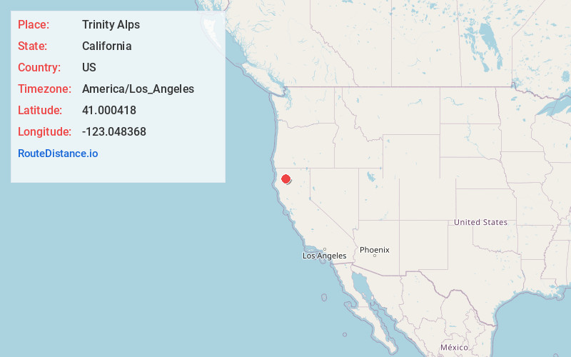
Full AddressTrinity Alps, California 96048
-
Coordinates41.000418, -123.0483683
-
LocationCalifornia , US
-
TimezoneAmerica/Los_Angeles
-
Current Local Time10:05:38 PM America/Los_AngelesThursday, May 22, 2025
-
Page Views0
About Trinity Alps
Range in the Klamath Mountains featuring hiking trails, backcountry camping & rock climbing.


Nearby Places
Found 10 places within 50 miles

Dedrick
9.5 mi
15.3 km
Dedrick, CA 96048
Get directions

Coffee
15.8 mi
25.4 km
Coffee, CA 96091
Get directions
Ridgeville
15.9 mi
25.6 km
Ridgeville, CA 96091
Get directions

Trinity Center
17.9 mi
28.8 km
Trinity Center, CA 96091
Get directions

Coffee Creek
18.8 mi
30.3 km
Coffee Creek, CA 96091
Get directions

Junction City
18.8 mi
30.3 km
Junction City, CA
Get directions

Weaverville
19.4 mi
31.2 km
Weaverville, CA
Get directions

Lewiston
24.3 mi
39.1 km
Lewiston, CA 96052
Get directions

Douglas City
24.7 mi
39.8 km
Douglas City, CA
Get directions
Cedar Flat Creek
25.2 mi
40.6 km
Cedar Flat Creek, California 95527
Get directions
Location Links
Local Weather
Weather Information
Coming soon!
Location Map
Static map view of Trinity Alps, California
Browse Places by Distance
Places within specific distances from Trinity Alps
Short Distances
Long Distances
Click any distance to see all places within that range from Trinity Alps. Distances shown in miles (1 mile ≈ 1.61 kilometers).