Distance to Junction City, California

Calculating Your Route
Just a moment while we process your request...
Location Information
-
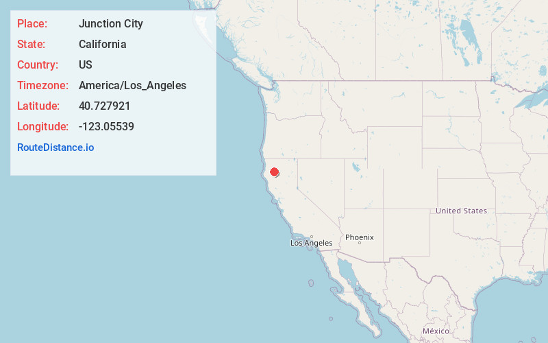
Full AddressJunction City, CA
-
Coordinates40.7279209, -123.0553904
-
LocationJunction City , California , US
-
TimezoneAmerica/Los_Angeles
-
Current Local Time10:01:49 AM America/Los_AngelesWednesday, May 21, 2025
-
Page Views0
About Junction City
Junction City is a census-designated place in Trinity County, California. Junction City sits at an elevation of 1,909 feet. Its population is 658 as of the 2020 census, down from 680 from the 2010 census. Junction City is located 8 miles west of Weaverville.

Nearby Places
Found 10 places within 50 miles

Weaverville
5.9 mi
9.5 km
Weaverville, CA
Get directions

Lewiston
13.1 mi
21.1 km
Lewiston, CA 96052
Get directions

Hayfork
13.7 mi
22.0 km
Hayfork, CA 96041
Get directions

Shasta
30.9 mi
49.7 km
Shasta, CA
Get directions

Willow Creek
33.5 mi
53.9 km
Willow Creek, CA 95573
Get directions

Shasta Lake
36.0 mi
57.9 km
Shasta Lake, CA 96019
Get directions

Redding
36.8 mi
59.2 km
Redding, CA
Get directions

Happy Valley
39.1 mi
62.9 km
Happy Valley, CA 96007
Get directions

Hoopa
39.3 mi
63.2 km
Hoopa, CA
Get directions

Bella Vista
41.8 mi
67.3 km
Bella Vista, CA
Get directions
Location Links
Local Weather
Weather Information
Coming soon!
Location Map
Static map view of Junction City, California
Browse Places by Distance
Places within specific distances from Junction City
Short Distances
Long Distances
Click any distance to see all places within that range from Junction City. Distances shown in miles (1 mile ≈ 1.61 kilometers).