Distance to Coffee Creek, California

Calculating Your Route
Just a moment while we process your request...
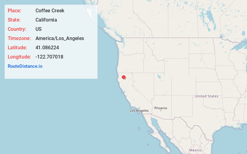
Location Information
-
Full AddressCoffee Creek, CA 96091
-
Coordinates41.0862236, -122.7070175
-
LocationCoffee Creek , California , US
-
TimezoneAmerica/Los_Angeles
-
Current Local Time4:50:33 AM America/Los_AngelesTuesday, June 3, 2025
-
Page Views0
About Coffee Creek
Coffee Creek is a census-designated place located within Trinity County in the U.S. state of California. It is located just north of where Coffee Creek flows into the Trinity River along Highway 3 and is the most northern community in Trinity County. It contains the Coffee Creek elementary school.

Nearby Places
Found 10 places within 50 miles

Lakehead
21.6 mi
34.8 km
Lakehead, CA 96051
Get directions

Dunsmuir
24.2 mi
38.9 km
Dunsmuir, CA
Get directions

Mt Shasta
25.8 mi
41.5 km
Mt Shasta, CA 96067
Get directions

French Gulch
26.9 mi
43.3 km
French Gulch, CA 96033
Get directions

Lewiston
27.3 mi
43.9 km
Lewiston, CA 96052
Get directions

Etna
27.4 mi
44.1 km
Etna, CA 96027
Get directions

Weaverville
27.4 mi
44.1 km
Weaverville, CA
Get directions

Weed
28.6 mi
46.0 km
Weed, CA
Get directions

Junction City
30.7 mi
49.4 km
Junction City, CA
Get directions

McCloud
31.8 mi
51.2 km
McCloud, CA 96057
Get directions
Location Links
Local Weather
Weather Information
Coming soon!
Location Map
Static map view of Coffee Creek, California
Browse Places by Distance
Places within specific distances from Coffee Creek
Short Distances
Long Distances
Click any distance to see all places within that range from Coffee Creek. Distances shown in miles (1 mile ≈ 1.61 kilometers).