Distance to Dunsmuir, California

Calculating Your Route
Just a moment while we process your request...
Location Information
-
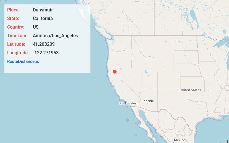
Full AddressDunsmuir, CA
-
Coordinates41.2082089, -122.2719529
-
LocationDunsmuir , California , US
-
TimezoneAmerica/Los_Angeles
-
Current Local Time11:09:45 AM America/Los_AngelesThursday, June 19, 2025
-
Website
-
Page Views0
About Dunsmuir
Dunsmuir is a city in Siskiyou County, California. It is on the upper Sacramento River. Its population is 1,707 as of the 2020 census, up from 1,650 from the 2010 census.
Dunsmuir is currently a hub for tourism in Northern California, with Interstate 5 passing through it.


Nearby Places
Found 10 places within 50 miles

Mt Shasta
7.3 mi
11.7 km
Mt Shasta, CA 96067
Get directions

Weed
16.0 mi
25.7 km
Weed, CA
Get directions

Shasta Lake
36.8 mi
59.2 km
Shasta Lake, CA 96019
Get directions

Burney
39.0 mi
62.8 km
Burney, CA 96013
Get directions

Bella Vista
39.8 mi
64.1 km
Bella Vista, CA
Get directions

Yreka
41.0 mi
66.0 km
Yreka, CA 96097
Get directions

Redding
44.1 mi
71.0 km
Redding, CA
Get directions

Palo Cedro
44.6 mi
71.8 km
Palo Cedro, CA
Get directions

Lewiston
45.0 mi
72.4 km
Lewiston, CA 96052
Get directions

Weaverville
48.1 mi
77.4 km
Weaverville, CA
Get directions
Location Links
Local Weather
Weather Information
Coming soon!
Location Map
Static map view of Dunsmuir, California
Browse Places by Distance
Places within specific distances from Dunsmuir
Short Distances
Long Distances
Click any distance to see all places within that range from Dunsmuir. Distances shown in miles (1 mile ≈ 1.61 kilometers).