Distance to Cedar Bank, Michigan

Calculating Your Route
Just a moment while we process your request...
Location Information
-
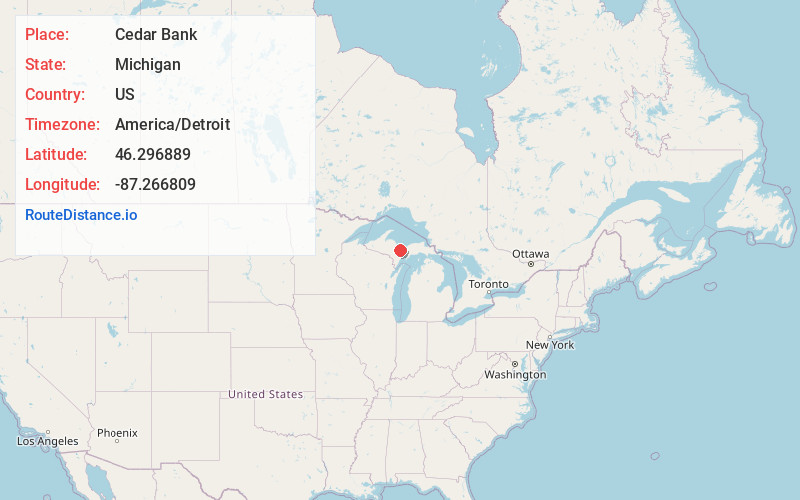
Full AddressCedar Bank, MI 49885
-
Coordinates46.2968889, -87.2668087
-
LocationCedar Bank , Michigan , US
-
TimezoneAmerica/Detroit
-
Current Local Time12:07:29 PM America/DetroitThursday, June 19, 2025
-
Page Views0
Nearby Places
Found 10 places within 50 miles

K. I. Sawyer AFB
5.2 mi
8.4 km
K. I. Sawyer AFB, MI
Get directions

McFarland
8.1 mi
13.0 km
McFarland, MI 49880
Get directions

Gwinn
8.4 mi
13.5 km
Gwinn, MI 49841
Get directions
Ladoga
10.2 mi
16.4 km
Ladoga, MI 49891
Get directions
Harvey
14.2 mi
22.9 km
Harvey, MI 49855
Get directions
Sand River
15.2 mi
24.5 km
Sand River, MI 49822
Get directions
Limestone
16.3 mi
26.2 km
Limestone, MI 49816
Get directions

Rock
16.5 mi
26.6 km
Rock, MI 49880
Get directions
Chatham
16.5 mi
26.6 km
Chatham, MI 49816
Get directions

Marquette
18.1 mi
29.1 km
Marquette, MI 49855
Get directions
Location Links
Local Weather
Weather Information
Coming soon!
Location Map
Static map view of Cedar Bank, Michigan
Browse Places by Distance
Places within specific distances from Cedar Bank
Short Distances
Long Distances
Click any distance to see all places within that range from Cedar Bank. Distances shown in miles (1 mile ≈ 1.61 kilometers).