Distance to Chatham, Michigan

Calculating Your Route
Just a moment while we process your request...
Location Information
-
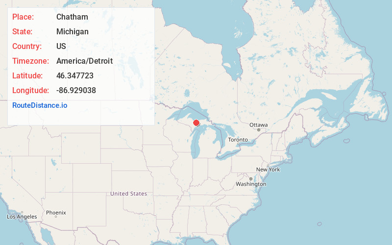
Full AddressChatham, MI 49816
-
Coordinates46.3477228, -86.9290375
-
LocationChatham , Michigan , US
-
TimezoneAmerica/Detroit
-
Current Local Time12:14:40 PM America/DetroitFriday, June 20, 2025
-
Page Views0
About Chatham
Chatham is a village in Alger County in the U.S. state of Michigan. It is located within Rock River Township. The population was 193 at the 2020 census.
The village is located along M-94 about 15 miles southwest of the city of Munising.
Nearby Places
Found 10 places within 50 miles

Munising
14.1 mi
22.7 km
Munising, MI 49862
Get directions

K. I. Sawyer AFB
20.9 mi
33.6 km
K. I. Sawyer AFB, MI
Get directions

Rock
22.4 mi
36.0 km
Rock, MI 49880
Get directions

Harvey
22.6 mi
36.4 km
Harvey, MI 49855
Get directions

Gwinn
24.9 mi
40.1 km
Gwinn, MI 49841
Get directions

Marquette
26.0 mi
41.8 km
Marquette, MI 49855
Get directions

Rapid River
29.2 mi
47.0 km
Rapid River, MI 49878
Get directions
Palmer
32.3 mi
52.0 km
Palmer, MI
Get directions

Negaunee
34.2 mi
55.0 km
Negaunee, MI 49866
Get directions

Gladstone
34.5 mi
55.5 km
Gladstone, MI 49837
Get directions
Location Links
Local Weather
Weather Information
Coming soon!
Location Map
Static map view of Chatham, Michigan
Browse Places by Distance
Places within specific distances from Chatham
Short Distances
Long Distances
Click any distance to see all places within that range from Chatham. Distances shown in miles (1 mile ≈ 1.61 kilometers).