Distance to Palmer, Michigan

Calculating Your Route
Just a moment while we process your request...
Location Information
-
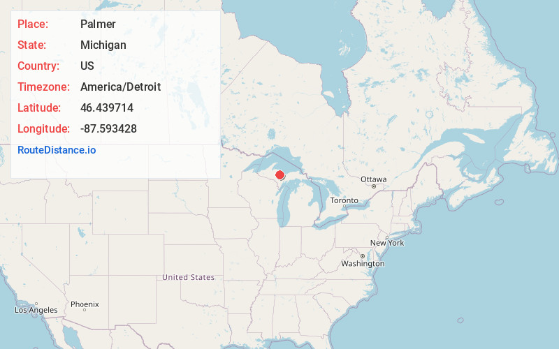
Full AddressPalmer, MI
-
Coordinates46.4397144, -87.5934277
-
LocationPalmer , Michigan , US
-
TimezoneAmerica/Detroit
-
Current Local Time8:57:34 PM America/DetroitWednesday, June 18, 2025
-
Page Views0
About Palmer
Palmer is an unincorporated community in Marquette County in the U.S. state of Michigan. It is a census-designated place for statistical purposes and has no legal status as an incorporated municipality. The CDP had a population of 378 at the 2020 census. It is located within Richmond Township along M-35.
Nearby Places
Found 10 places within 50 miles

Negaunee
4.8 mi
7.7 km
Negaunee, MI 49866
Get directions

Ishpeming
4.9 mi
7.9 km
Ishpeming, MI 49849
Get directions

West Ishpeming
6.6 mi
10.6 km
West Ishpeming, MI 49849
Get directions

Marquette
11.8 mi
19.0 km
Marquette, MI 49855
Get directions
Harvey
11.9 mi
19.2 km
Harvey, MI 49855
Get directions

Gwinn
13.2 mi
21.2 km
Gwinn, MI 49841
Get directions

K. I. Sawyer AFB
13.3 mi
21.4 km
K. I. Sawyer AFB, MI
Get directions

Republic
18.4 mi
29.6 km
Republic, MI 49879
Get directions

Big Bay
26.8 mi
43.1 km
Big Bay, MI 49855
Get directions

Crystal Falls
42.5 mi
68.4 km
Crystal Falls, MI 49920
Get directions
Location Links
Local Weather
Weather Information
Coming soon!
Location Map
Static map view of Palmer, Michigan
Browse Places by Distance
Places within specific distances from Palmer
Short Distances
Long Distances
Click any distance to see all places within that range from Palmer. Distances shown in miles (1 mile ≈ 1.61 kilometers).