Distance to Cedar Bay, North Carolina

Calculating Your Route
Just a moment while we process your request...
Location Information
-
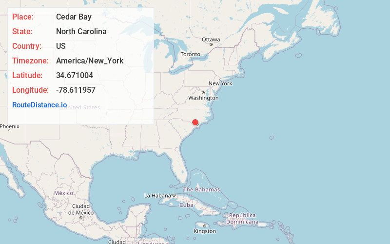
Full AddressCedar Bay, North Carolina 28337
-
Coordinates34.6710037, -78.6119569
-
LocationNorth Carolina , US
-
TimezoneAmerica/New_York
-
Current Local Time3:59:33 AM America/New_YorkWednesday, June 18, 2025
-
Page Views0
Nearby Places
Found 10 places within 50 miles

Elizabethtown
2.9 mi
4.7 km
Elizabethtown, NC 28337
Get directions

Cape Fear River
4.8 mi
7.7 km
Cape Fear River, North Carolina
Get directions

Dublin
6.6 mi
10.6 km
Dublin, NC
Get directions

White Lake
7.6 mi
12.2 km
White Lake, NC 28337
Get directions

Tar Heel
11.0 mi
17.7 km
Tar Heel, NC 28392
Get directions

Clarkton
12.9 mi
20.8 km
Clarkton, NC 28433
Get directions
Bladenboro
13.5 mi
21.7 km
Bladenboro, NC 28320
Get directions

Garland
14.7 mi
23.7 km
Garland, NC 28441
Get directions
Butters
15.5 mi
24.9 km
Butters, NC
Get directions
Tomahawk
16.4 mi
26.4 km
Tomahawk, NC 28441
Get directions
Location Links
Local Weather
Weather Information
Coming soon!
Location Map
Static map view of Cedar Bay, North Carolina
Browse Places by Distance
Places within specific distances from Cedar Bay
Short Distances
Long Distances
Click any distance to see all places within that range from Cedar Bay. Distances shown in miles (1 mile ≈ 1.61 kilometers).