Distance to Cedar Mills, Texas

Calculating Your Route
Just a moment while we process your request...
Location Information
-
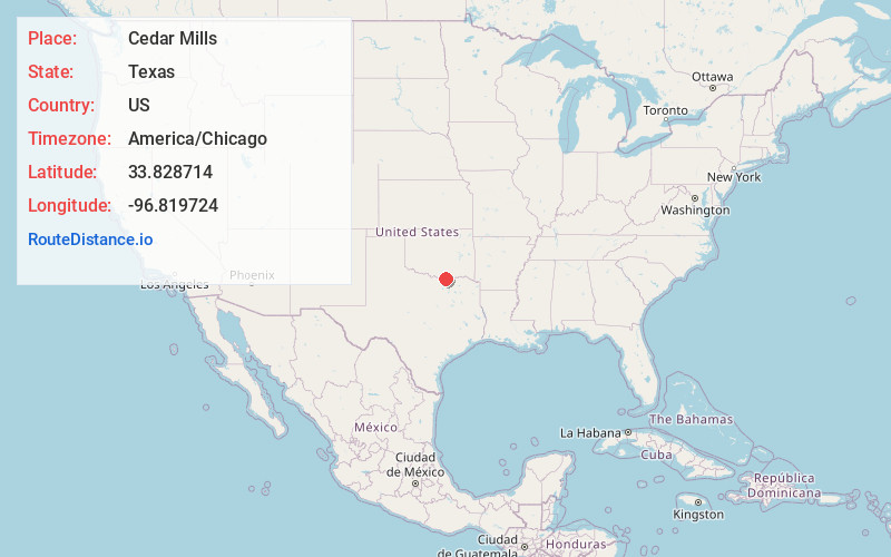
Full AddressCedar Mills, TX 76245
-
Coordinates33.8287142, -96.8197238
-
LocationTexas , US
-
TimezoneAmerica/Chicago
-
Current Local Time1:52:33 PM America/ChicagoMonday, June 16, 2025
-
Page Views0
Nearby Places
Found 10 places within 50 miles

Sherwood Shores
1.9 mi
3.1 km
Sherwood Shores, TX 76245
Get directions

Sandusky
6.0 mi
9.7 km
Sandusky, TX 76273
Get directions
Shay
7.6 mi
12.2 km
Shay, OK 73439
Get directions
Dexter
8.3 mi
13.4 km
Dexter, TX 76273
Get directions
Hanger
8.9 mi
14.3 km
Hanger, TX 75092
Get directions
Powell
9.1 mi
14.6 km
Powell, OK 73439
Get directions

Pottsboro
9.9 mi
15.9 km
Pottsboro, TX
Get directions
Sturgeon
10.2 mi
16.4 km
Sturgeon, TX 76273
Get directions

Sadler
10.2 mi
16.4 km
Sadler, TX
Get directions

Preston
11.3 mi
18.2 km
Preston, TX 75076
Get directions
Location Links
Local Weather
Weather Information
Coming soon!
Location Map
Static map view of Cedar Mills, Texas
Browse Places by Distance
Places within specific distances from Cedar Mills
Short Distances
Long Distances
Click any distance to see all places within that range from Cedar Mills. Distances shown in miles (1 mile ≈ 1.61 kilometers).