Distance to Cedar, Kansas

Calculating Your Route
Just a moment while we process your request...
Location Information
-
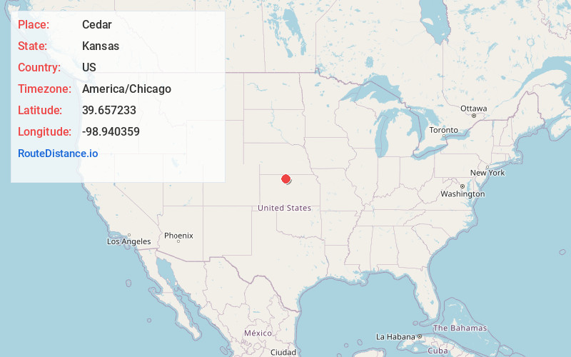
Full AddressCedar, KS 67628
-
Coordinates39.6572333, -98.9403591
-
LocationCedar , Kansas , US
-
TimezoneAmerica/Chicago
-
Current Local Time5:39:18 PM America/ChicagoFriday, June 20, 2025
-
Page Views0
About Cedar
Cedar is a city in Smith County, Kansas, United States. As of the 2020 census the population of the city was 11.
Nearby Places
Found 10 places within 50 miles

Gaylord
5.0 mi
8.0 km
Gaylord, KS 67638
Get directions
Athol
7.5 mi
12.1 km
Athol, KS 66932
Get directions
Kensington
9.0 mi
14.5 km
Kensington, KS 66951
Get directions
Kirwin
9.7 mi
15.6 km
Kirwin, KS 67644
Get directions
Smith Center
11.8 mi
19.0 km
Smith Center, KS 66967
Get directions
Agra
11.9 mi
19.2 km
Agra, KS 67621
Get directions
Alton
12.9 mi
20.8 km
Alton, KS 67623
Get directions

Portis
14.7 mi
23.7 km
Portis, KS 67474
Get directions
Woodston
16.2 mi
26.1 km
Woodston, KS 67675
Get directions
Glade
19.7 mi
31.7 km
Glade, KS 67639
Get directions
Location Links
Local Weather
Weather Information
Coming soon!
Location Map
Static map view of Cedar, Kansas
Browse Places by Distance
Places within specific distances from Cedar
Short Distances
Long Distances
Click any distance to see all places within that range from Cedar. Distances shown in miles (1 mile ≈ 1.61 kilometers).