Distance to Cedar Slope, California

Calculating Your Route
Just a moment while we process your request...
Location Information
-
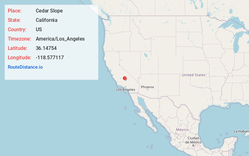
Full AddressCedar Slope, CA 93265
-
Coordinates36.1475397, -118.5771169
-
LocationCedar Slope , California , US
-
TimezoneAmerica/Los_Angeles
-
Current Local Time7:58:17 PM America/Los_AngelesSaturday, May 17, 2025
-
Page Views0
About Cedar Slope
Cedar Slope is a census-designated place in Tulare County, California. Cedar Slope sits at an elevation of 5,584 feet. The 2020 United States census reported that Cedar Slope was 10, this is up from zero in 2010.
Nearby Places
Found 10 places within 50 miles

Camp Nelson
2.3 mi
3.7 km
Camp Nelson, CA 93265
Get directions

Pierpoint
2.9 mi
4.7 km
Pierpoint, CA 93265
Get directions

Ponderosa
3.9 mi
6.3 km
Ponderosa, CA 93265
Get directions

Sequoia Crest
4.0 mi
6.4 km
Sequoia Crest, CA 93265
Get directions

Springville
13.5 mi
21.7 km
Springville, CA 93265
Get directions

California Hot Springs
18.5 mi
29.8 km
California Hot Springs, CA 93207
Get directions
Sugarloaf Saw Mill
21.8 mi
35.1 km
Sugarloaf Saw Mill, CA 93260
Get directions

Sugarloaf Village
22.4 mi
36.0 km
Sugarloaf Village, CA 93260
Get directions
McClenney Tract
23.0 mi
37.0 km
McClenney Tract, CA 93260
Get directions

East Porterville
23.1 mi
37.2 km
East Porterville, CA 93257
Get directions
Location Links
Local Weather
Weather Information
Coming soon!
Location Map
Static map view of Cedar Slope, California
Browse Places by Distance
Places within specific distances from Cedar Slope
Short Distances
Long Distances
Click any distance to see all places within that range from Cedar Slope. Distances shown in miles (1 mile ≈ 1.61 kilometers).