Distance to Cedar Vale, Kansas

Calculating Your Route
Just a moment while we process your request...
Location Information
-
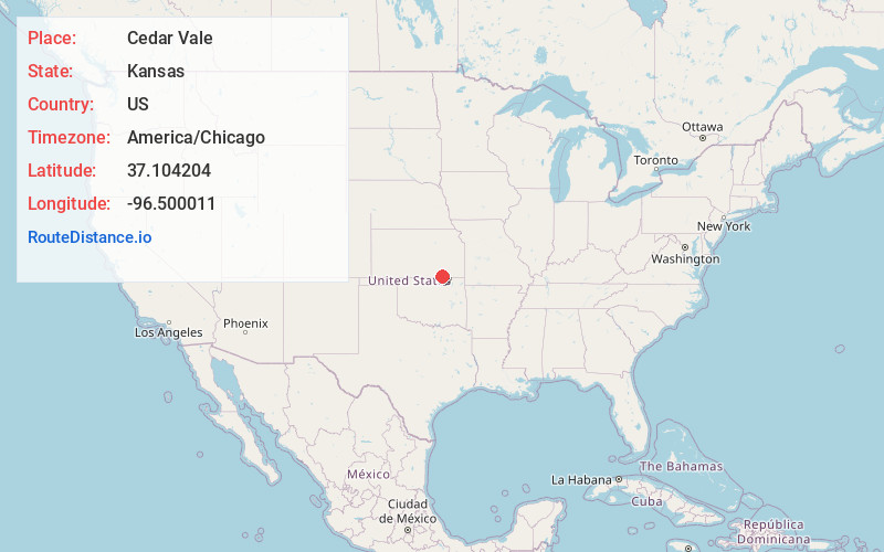
Full AddressCedar Vale, KS 67024
-
Coordinates37.1042039, -96.5000112
-
LocationCedar Vale , Kansas , US
-
TimezoneAmerica/Chicago
-
Current Local Time6:53:13 PM America/ChicagoThursday, June 19, 2025
-
Website
-
Page Views0
About Cedar Vale
Cedar Vale is a city in Chautauqua County, Kansas, United States. As of the 2020 census, the population of the city was 476.
Nearby Places
Found 10 places within 50 miles

Sedan
17.3 mi
27.8 km
Sedan, KS 67361
Get directions

Winfield
28.8 mi
46.3 km
Winfield, KS
Get directions

Arkansas City
29.8 mi
48.0 km
Arkansas City, KS 67005
Get directions

Pawhuska
31.7 mi
51.0 km
Pawhuska, OK 74056
Get directions

Caney
31.8 mi
51.2 km
Caney, KS 67333
Get directions

Newkirk
34.2 mi
55.0 km
Newkirk, OK 74647
Get directions

Copan
34.7 mi
55.8 km
Copan, OK 74022
Get directions

Dewey
37.8 mi
60.8 km
Dewey, OK
Get directions

Bartlesville
38.0 mi
61.2 km
Bartlesville, OK
Get directions

Fairfax
38.4 mi
61.8 km
Fairfax, OK 74637
Get directions
Location Links
Local Weather
Weather Information
Coming soon!
Location Map
Static map view of Cedar Vale, Kansas
Browse Places by Distance
Places within specific distances from Cedar Vale
Short Distances
Long Distances
Click any distance to see all places within that range from Cedar Vale. Distances shown in miles (1 mile ≈ 1.61 kilometers).