Distance to Cedarville, Massachusetts

Calculating Your Route
Just a moment while we process your request...
Location Information
-
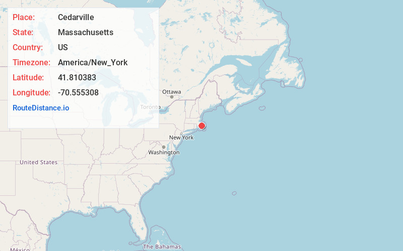
Full AddressCedarville, Plymouth, MA 02360
-
Coordinates41.8103831, -70.5553078
-
NeighborhoodCedarville
-
LocationPlymouth , Massachusetts , US
-
TimezoneAmerica/New_York
-
Current Local Time4:12:43 PM America/New_YorkFriday, May 30, 2025
-
Page Views0
About Cedarville
Cedarville is the southeasternmost village in Plymouth, Massachusetts, United States. It is bounded to the north by Ellisville Road and Hedges Pond, to the south by the town of Bourne, to the west by Little Herring Pond and Great Herring Pond, and to the east by Cape Cod Bay.


Nearby Places
Found 10 places within 50 miles

Cedarville Landing
0.8 mi
1.3 km
Cedarville Landing, Plymouth, MA 02360
Get directions
Eastland Heights
2.8 mi
4.5 km
Eastland Heights, Plymouth, MA 02360
Get directions
Bayside Beach
4.1 mi
6.6 km
Bayside Beach, Plymouth, MA 02360
Get directions

Halfway Pond
4.2 mi
6.8 km
Halfway Pond, Plymouth, MA 02360
Get directions

Sandwich
4.3 mi
6.9 km
Sandwich, MA
Get directions

Bourne
4.9 mi
7.9 km
Bourne, MA
Get directions
Shallow Pond
5.5 mi
8.9 km
Shallow Pond, Plymouth, MA 02360
Get directions

Manomet Beach
5.8 mi
9.3 km
Manomet Beach, Plymouth, MA 02360
Get directions
Maple Park Bogs
5.9 mi
9.5 km
Maple Park Bogs, Wareham, MA 02571
Get directions

Cedar Bushes
6.0 mi
9.7 km
Cedar Bushes, Plymouth, MA 02360
Get directions
Location Links
Local Weather
Weather Information
Coming soon!
Location Map
Static map view of Cedarville, Massachusetts
Browse Places by Distance
Places within specific distances from Cedarville
Short Distances
Long Distances
Click any distance to see all places within that range from Cedarville. Distances shown in miles (1 mile ≈ 1.61 kilometers).