Distance to Centralia, Oklahoma

Calculating Your Route
Just a moment while we process your request...
Location Information
-
Full AddressCentralia, OK 74301
-
Coordinates36.7967499, -95.3533051
-
LocationCentralia , Oklahoma , US
-
TimezoneAmerica/Chicago
-
Current Local Time4:22:01 AM America/ChicagoWednesday, June 18, 2025
-
Page Views0
About Centralia
Centralia is an unincorporated community in Craig County, Oklahoma, United States.


Nearby Places
Found 10 places within 50 miles

Sanders
5.5 mi
8.9 km
Sanders, OK 74301
Get directions

Childers
10.5 mi
16.9 km
Childers, OK 74048
Get directions
Banzet
11.6 mi
18.7 km
Banzet, OK 74369
Get directions

White Oak
13.2 mi
21.2 km
White Oak, OK 74301
Get directions
Kelso
14.9 mi
24.0 km
Kelso, OK 74301
Get directions
Sunsweet
14.9 mi
24.0 km
Sunsweet, OK 74301
Get directions

New Alluwe
14.9 mi
24.0 km
New Alluwe, OK 74016
Get directions

Welch
15.2 mi
24.5 km
Welch, OK 74369
Get directions

Vinita
15.5 mi
24.9 km
Vinita, OK 74301
Get directions

Bluejacket
15.6 mi
25.1 km
Bluejacket, OK 74333
Get directions
Location Links
Local Weather
Weather Information
Coming soon!
Location Map
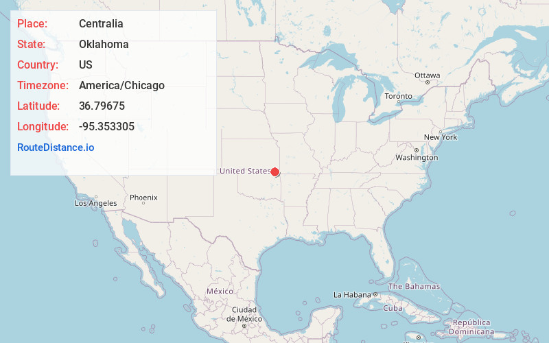
Static map view of Centralia, Oklahoma
Browse Places by Distance
Places within specific distances from Centralia
Short Distances
Long Distances
Click any distance to see all places within that range from Centralia. Distances shown in miles (1 mile ≈ 1.61 kilometers).