Distance to Sanders, Oklahoma

Calculating Your Route
Just a moment while we process your request...
Location Information
-
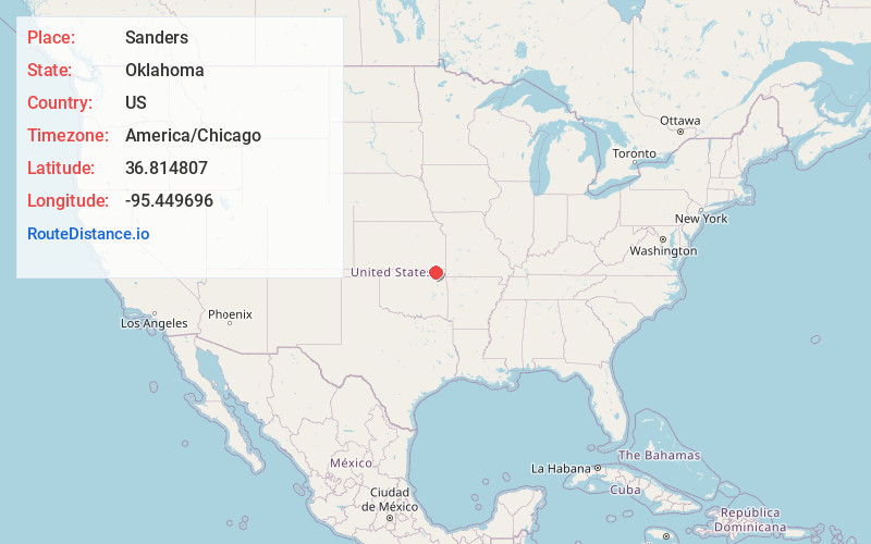
Full AddressSanders, OK 74301
-
Coordinates36.8148071, -95.4496963
-
LocationOklahoma , US
-
TimezoneAmerica/Chicago
-
Current Local Time1:17:43 AM America/ChicagoSaturday, June 21, 2025
-
Page Views0
Nearby Places
Found 10 places within 50 miles

Childers
5.8 mi
9.3 km
Childers, OK 74048
Get directions

Lenapah
10.6 mi
17.1 km
Lenapah, OK 74042
Get directions

Delaware
10.8 mi
17.4 km
Delaware, OK 74027
Get directions

Nowata
13.1 mi
21.1 km
Nowata, OK 74048
Get directions

Banzet
14.1 mi
22.7 km
Banzet, OK 74369
Get directions

New Alluwe
14.3 mi
23.0 km
New Alluwe, OK 74016
Get directions

South Coffeyville
15.6 mi
25.1 km
South Coffeyville, OK 74072
Get directions
Valeda
16.1 mi
25.9 km
Valeda, Howard Township, KS 67337
Get directions

White Oak
16.9 mi
27.2 km
White Oak, OK 74301
Get directions
Sunsweet
17.5 mi
28.2 km
Sunsweet, OK 74301
Get directions
Location Links
Local Weather
Weather Information
Coming soon!
Location Map
Static map view of Sanders, Oklahoma
Browse Places by Distance
Places within specific distances from Sanders
Short Distances
Long Distances
Click any distance to see all places within that range from Sanders. Distances shown in miles (1 mile ≈ 1.61 kilometers).