Distance to Lenapah, Oklahoma

Calculating Your Route
Just a moment while we process your request...
Location Information
-
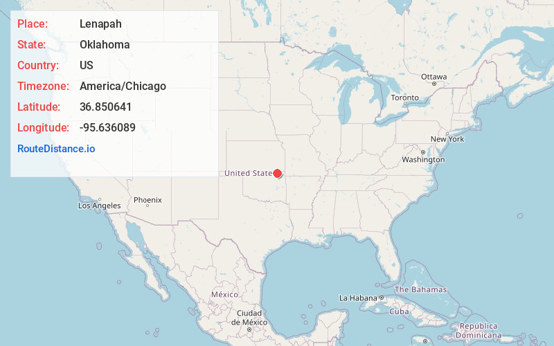
Full AddressLenapah, OK 74042
-
Coordinates36.8506407, -95.636089
-
LocationLenapah , Oklahoma , US
-
TimezoneAmerica/Chicago
-
Current Local Time5:14:52 AM America/ChicagoFriday, May 30, 2025
-
Page Views0
About Lenapah
Lenapah is a town in north central Nowata County, Oklahoma, United States, eleven miles north of Nowata and sixty two miles northeast of Tulsa. Its name is an adaptation of Lenape, the name of a Delaware Tribe of Indians.


Nearby Places
Found 10 places within 50 miles

Delaware
5.0 mi
8.0 km
Delaware, OK 74027
Get directions

South Coffeyville
10.0 mi
16.1 km
South Coffeyville, OK 74072
Get directions

Nowata
10.4 mi
16.7 km
Nowata, OK 74048
Get directions

Coffeyville
12.9 mi
20.8 km
Coffeyville, KS
Get directions

Dearing
14.9 mi
24.0 km
Dearing, KS
Get directions

Copan
16.4 mi
26.4 km
Copan, OK 74022
Get directions

Dewey
17.0 mi
27.4 km
Dewey, OK
Get directions

Caney
19.9 mi
32.0 km
Caney, KS 67333
Get directions

Bartlesville
20.3 mi
32.7 km
Bartlesville, OK
Get directions

Edna
21.0 mi
33.8 km
Edna, KS 67342
Get directions
Location Links
Local Weather
Weather Information
Coming soon!
Location Map
Static map view of Lenapah, Oklahoma
Browse Places by Distance
Places within specific distances from Lenapah
Short Distances
Long Distances
Click any distance to see all places within that range from Lenapah. Distances shown in miles (1 mile ≈ 1.61 kilometers).