Distance to Ceres, Virginia

Calculating Your Route
Just a moment while we process your request...
Location Information
-
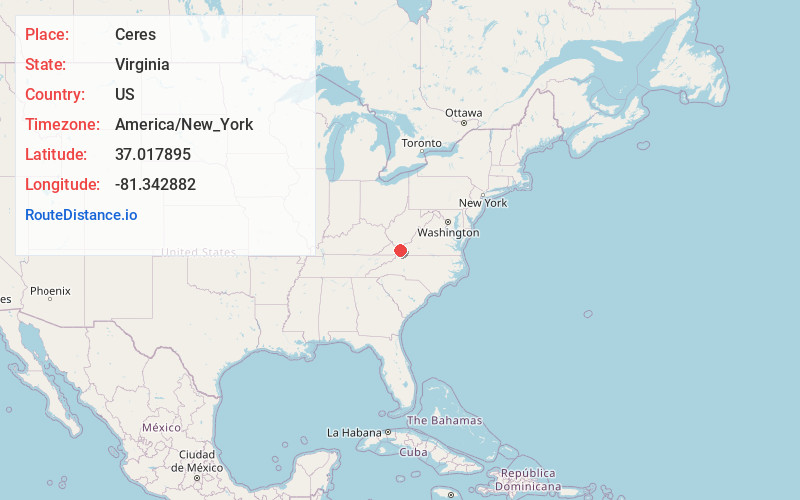
Full AddressCeres, VA 24318
-
Coordinates37.0178949, -81.3428823
-
LocationCeres , Virginia , US
-
TimezoneAmerica/New_York
-
Current Local Time11:05:17 AM America/New_YorkTuesday, June 24, 2025
-
Page Views0
About Ceres
Ceres is an unincorporated community in Bland County, Virginia, United States. Ceres is located on State Route 42, 13.5 miles west-southwest of Bland. Ceres has a post office with ZIP code 24318.

Nearby Places
Found 10 places within 50 miles

Groseclose Store
3.7 mi
6.0 km
Groseclose Store, VA 24318
Get directions
Sharon Springs
3.8 mi
6.1 km
Sharon Springs, VA 24318
Get directions
Staley Crossroads
8.4 mi
13.5 km
Staley Crossroads, Rural Retreat, VA 24368
Get directions
Gratton
9.0 mi
14.5 km
Gratton, VA
Get directions
Favonia
9.3 mi
15.0 km
Favonia, VA 24382
Get directions

Rural Retreat
9.3 mi
15.0 km
Rural Retreat, VA
Get directions
Cline
11.3 mi
18.2 km
Cline, VA 24382
Get directions
Atkins
11.3 mi
18.2 km
Atkins, VA
Get directions

Tazewell
11.8 mi
19.0 km
Tazewell, VA
Get directions
Drytown
12.1 mi
19.5 km
Drytown, Tazewell, VA 24630
Get directions
Location Links
Local Weather
Weather Information
Coming soon!
Location Map
Static map view of Ceres, Virginia
Browse Places by Distance
Places within specific distances from Ceres
Short Distances
Long Distances
Click any distance to see all places within that range from Ceres. Distances shown in miles (1 mile ≈ 1.61 kilometers).