Distance to Cestohowa, Texas

Calculating Your Route
Just a moment while we process your request...
Location Information
-
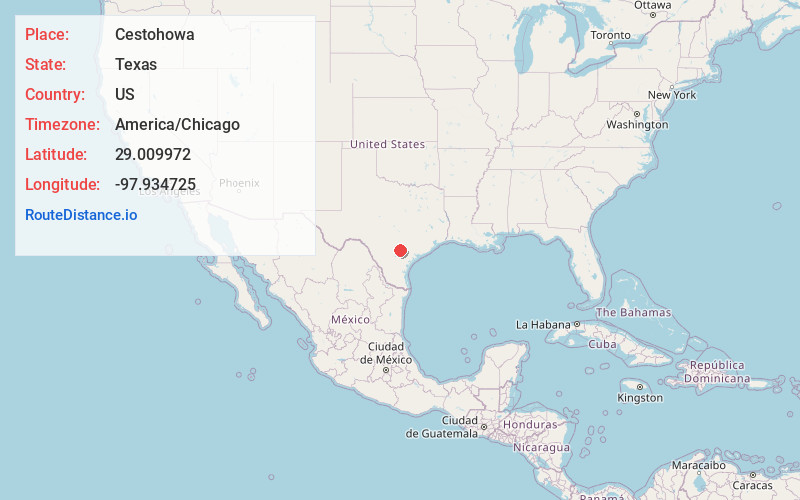
Full AddressCestohowa, TX 78113
-
Coordinates29.0099721, -97.9347253
-
LocationTexas , US
-
TimezoneAmerica/Chicago
-
Current Local Time1:01:43 AM America/ChicagoMonday, June 2, 2025
-
Page Views0
About Cestohowa
Cestohowa is an unincorporated community in Karnes County, Texas, United States. In 2000 it had a population of 110.
Nearby Places
Found 10 places within 50 miles

Pawelekville
2.9 mi
4.7 km
Pawelekville, TX 78113
Get directions
Hobson
4.7 mi
7.6 km
Hobson, TX 78117
Get directions

Falls City
5.3 mi
8.5 km
Falls City, TX 78113
Get directions
Kosciusko
6.7 mi
10.8 km
Kosciusko, TX 78113
Get directions
Harmony
7.6 mi
12.2 km
Harmony, TX 78116
Get directions

Helena
7.8 mi
12.6 km
Helena, TX 78118
Get directions

Karnes City
8.9 mi
14.3 km
Karnes City, TX 78118
Get directions
Poth
9.8 mi
15.8 km
Poth, TX
Get directions
Denhawken
11.5 mi
18.5 km
Denhawken, TX 78160
Get directions

Kenedy
14.2 mi
22.9 km
Kenedy, TX 78119
Get directions
Location Links
Local Weather
Weather Information
Coming soon!
Location Map
Static map view of Cestohowa, Texas
Browse Places by Distance
Places within specific distances from Cestohowa
Short Distances
Long Distances
Click any distance to see all places within that range from Cestohowa. Distances shown in miles (1 mile ≈ 1.61 kilometers).