Distance to Pawelekville, Texas

Calculating Your Route
Just a moment while we process your request...
Location Information
-
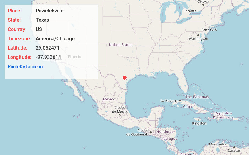
Full AddressPawelekville, TX 78113
-
Coordinates29.0524706, -97.9336141
-
LocationTexas , US
-
TimezoneAmerica/Chicago
-
Current Local Time11:31:21 AM America/ChicagoThursday, July 3, 2025
-
Page Views0
Nearby Places
Found 10 places within 50 miles

Falls City
7.0 mi
11.3 km
Falls City, TX 78113
Get directions

Poth
9.0 mi
14.5 km
Poth, TX
Get directions

Helena
9.6 mi
15.4 km
Helena, TX 78118
Get directions

Karnes City
11.7 mi
18.8 km
Karnes City, TX 78118
Get directions

Stockdale
12.8 mi
20.6 km
Stockdale, TX 78160
Get directions

Floresville
14.6 mi
23.5 km
Floresville, TX 78114
Get directions

Kenedy
16.9 mi
27.2 km
Kenedy, TX 78119
Get directions
Sutherland Springs
17.0 mi
27.4 km
Sutherland Springs, TX 78161
Get directions

Runge
17.7 mi
28.5 km
Runge, TX 78151
Get directions

Nixon
18.0 mi
29.0 km
Nixon, TX 78140
Get directions
Location Links
Local Weather
Weather Information
Coming soon!
Location Map
Static map view of Pawelekville, Texas
Browse Places by Distance
Places within specific distances from Pawelekville
Short Distances
Long Distances
Click any distance to see all places within that range from Pawelekville. Distances shown in miles (1 mile ≈ 1.61 kilometers).