Distance to Chamberlain, Michigan

Calculating Your Route
Just a moment while we process your request...
Location Information
-
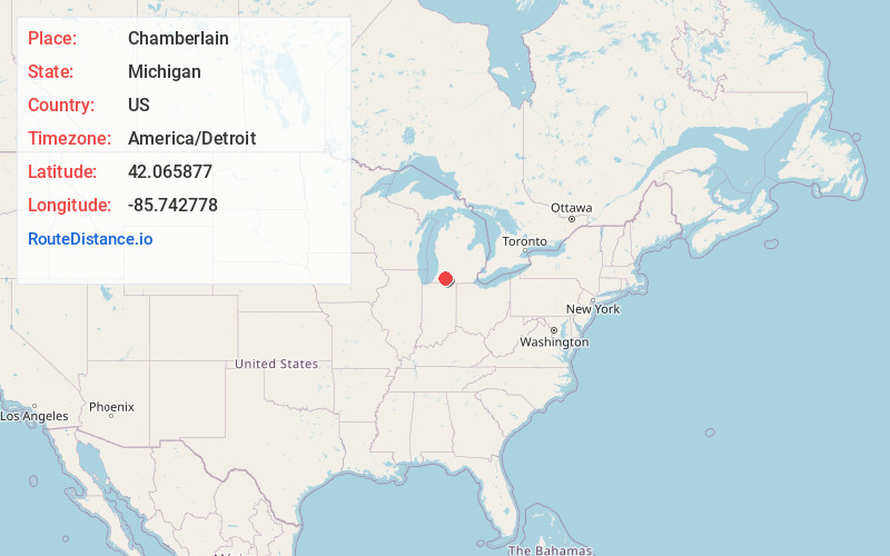
Full AddressChamberlain, Flowerfield Township, MI 49067
-
Coordinates42.0658769, -85.7427784
-
LocationFlowerfield Township , Michigan , US
-
TimezoneAmerica/Detroit
-
Current Local Time12:12:41 AM America/DetroitSaturday, June 14, 2025
-
Page Views0
Nearby Places
Found 10 places within 50 miles

Howardsville
3.1 mi
5.0 km
Howardsville, Flowerfield Township, MI 49067
Get directions
Flowerfield Township
3.8 mi
6.1 km
Flowerfield Township, MI
Get directions

Marcellus
4.6 mi
7.4 km
Marcellus, MI 49067
Get directions

Schoolcraft
6.3 mi
10.1 km
Schoolcraft, MI 49087
Get directions
Nicholsville
8.0 mi
12.9 km
Nicholsville, Volinia Township, MI 49067
Get directions

Lawton
8.8 mi
14.2 km
Lawton, MI 49065
Get directions
Wakelee
9.0 mi
14.5 km
Wakelee, Volinia Township, MI 49095
Get directions

Mattawan
10.2 mi
16.4 km
Mattawan, MI
Get directions

Three Rivers
10.2 mi
16.4 km
Three Rivers, MI 49093
Get directions

Parkville
10.6 mi
17.1 km
Parkville, Park Township, MI 49093
Get directions
Location Links
Local Weather
Weather Information
Coming soon!
Location Map
Static map view of Chamberlain, Michigan
Browse Places by Distance
Places within specific distances from Chamberlain
Short Distances
Long Distances
Click any distance to see all places within that range from Chamberlain. Distances shown in miles (1 mile ≈ 1.61 kilometers).