Distance to Schoolcraft, Michigan

Calculating Your Route
Just a moment while we process your request...
Location Information
-
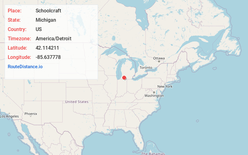
Full AddressSchoolcraft, MI 49087
-
Coordinates42.1142107, -85.6377776
-
LocationSchoolcraft , Michigan , US
-
TimezoneAmerica/Detroit
-
Current Local Time12:06:30 AM America/DetroitSaturday, June 28, 2025
-
Page Views0
About Schoolcraft
Schoolcraft is a village in Kalamazoo County, Michigan, United States. The village is located in Schoolcraft Township approximately 13 miles south of Kalamazoo on U.S. Route 131. The population was 1,525 at the 2010 census. The village is named in honor of geographer, geologist, and ethnologist Henry Schoolcraft.


Nearby Places
Found 10 places within 50 miles

Vicksburg
5.4 mi
8.7 km
Vicksburg, MI 49097
Get directions

Portage
6.4 mi
10.3 km
Portage, MI
Get directions

Mattawan
10.0 mi
16.1 km
Mattawan, MI
Get directions

Lawton
11.3 mi
18.2 km
Lawton, MI 49065
Get directions

Three Rivers
11.8 mi
19.0 km
Three Rivers, MI 49093
Get directions

Kalamazoo
12.4 mi
20.0 km
Kalamazoo, MI
Get directions

Westwood
12.6 mi
20.3 km
Westwood, MI 49006
Get directions

Eastwood
13.8 mi
22.2 km
Eastwood, MI 49048
Get directions

Paw Paw
14.8 mi
23.8 km
Paw Paw, MI 49079
Get directions

Parchment
15.2 mi
24.5 km
Parchment, MI 49004
Get directions
Location Links
Local Weather
Weather Information
Coming soon!
Location Map
Static map view of Schoolcraft, Michigan
Browse Places by Distance
Places within specific distances from Schoolcraft
Short Distances
Long Distances
Click any distance to see all places within that range from Schoolcraft. Distances shown in miles (1 mile ≈ 1.61 kilometers).