Distance to Champlin, Minnesota

Calculating Your Route
Just a moment while we process your request...
Location Information
-
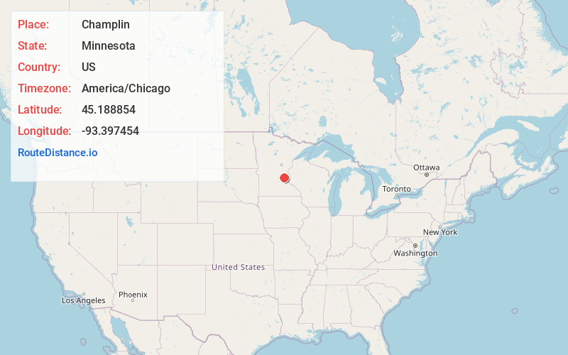
Full AddressChamplin, MN 55316
-
Coordinates45.1888539, -93.3974537
-
LocationChamplin , Minnesota , US
-
TimezoneAmerica/Chicago
-
Current Local Time7:25:13 PM America/ChicagoWednesday, July 2, 2025
-
Website
-
Page Views0
About Champlin
Champlin is a city in Hennepin County, Minnesota, United States. The population was 23,919 at the 2020 census. Champlin is a northern suburb of Minneapolis.
U.S. Highway 169 and Hennepin County Road 12 are two of the main routes in Champlin.


Nearby Places
Found 10 places within 50 miles

Coon Rapids
4.7 mi
7.6 km
Coon Rapids, MN
Get directions

Ramsey
5.6 mi
9.0 km
Ramsey, MN 55303
Get directions

Andover
6.0 mi
9.7 km
Andover, MN 55304
Get directions

Brooklyn Park
6.8 mi
10.9 km
Brooklyn Park, MN
Get directions

Blaine
8.1 mi
13.0 km
Blaine, MN
Get directions

Brooklyn Center
8.4 mi
13.5 km
Brooklyn Center, MN
Get directions

Maple Grove
8.5 mi
13.7 km
Maple Grove, MN
Get directions

Fridley
9.7 mi
15.6 km
Fridley, MN
Get directions

Crystal
10.9 mi
17.5 km
Crystal, MN
Get directions

Elk River
11.0 mi
17.7 km
Elk River, MN 55330
Get directions
Location Links
Local Weather
Weather Information
Coming soon!
Location Map
Static map view of Champlin, Minnesota
Browse Places by Distance
Places within specific distances from Champlin
Short Distances
Long Distances
Click any distance to see all places within that range from Champlin. Distances shown in miles (1 mile ≈ 1.61 kilometers).