Distance to Channel Islands Beach, California

Calculating Your Route
Just a moment while we process your request...
Location Information
-
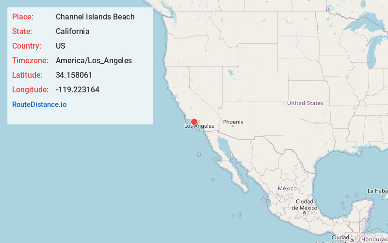
Full AddressChannel Islands Beach, CA 93035
-
Coordinates34.1580605, -119.223164
-
LocationChannel Islands Beach , California , US
-
TimezoneAmerica/Los_Angeles
-
Current Local Time7:46:57 AM America/Los_AngelesWednesday, June 25, 2025
-
Page Views0
About Channel Islands Beach
Channel Islands Beach is an unincorporated community in Ventura County, California, United States consisting of three historic neighborhoods: Hollywood Beach, Hollywood by the Sea, and Silver Strand Beach.


Nearby Places
Found 10 places within 50 miles

Naval CBC Port Hueneme
1.5 mi
2.4 km
Naval CBC Port Hueneme, Oxnard, CA 93035
Get directions

Oxnard State Beach Park
1.5 mi
2.4 km
Oxnard State Beach Park, California
Get directions

Port Hueneme
1.8 mi
2.9 km
Port Hueneme, CA
Get directions

Oxnard
3.8 mi
6.1 km
Oxnard, CA
Get directions

Ventura Harbor
6.5 mi
10.5 km
Ventura Harbor, Ventura, CA 93001
Get directions

El Rio
6.8 mi
10.9 km
El Rio, CA 93036
Get directions

Leesdale
7.5 mi
12.1 km
Leesdale, CA 93033
Get directions

Pierpont Bay
8.1 mi
13.0 km
Pierpont Bay, Ventura, CA
Get directions

Ventura
9.4 mi
15.1 km
Ventura, CA
Get directions

Saticoy
9.9 mi
15.9 km
Saticoy, CA 93004
Get directions
Location Links
Local Weather
Weather Information
Coming soon!
Location Map
Static map view of Channel Islands Beach, California
Browse Places by Distance
Places within specific distances from Channel Islands Beach
Short Distances
Long Distances
Click any distance to see all places within that range from Channel Islands Beach. Distances shown in miles (1 mile ≈ 1.61 kilometers).