Distance to Saticoy, California

Calculating Your Route
Just a moment while we process your request...
Location Information
-
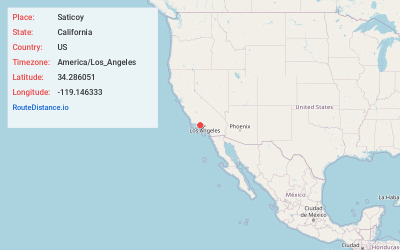
Full AddressSaticoy, CA 93004
-
Coordinates34.2860509, -119.146333
-
LocationSaticoy , California , US
-
TimezoneAmerica/Los_Angeles
-
Current Local Time4:13:17 PM America/Los_AngelesMonday, June 30, 2025
-
Page Views0
About Saticoy
Saticoy is an unincorporated community in Ventura County, California, United States. The site of one of the largest settlements of the Chumash region, a settlement was laid out in 1887 along the railroad line that was being built from Los Angeles through the Santa Clara River Valley to the town of San Buenaventura.

Nearby Places
Found 10 places within 50 miles

El Rio
3.2 mi
5.1 km
El Rio, CA 93036
Get directions

Oxnard
6.4 mi
10.3 km
Oxnard, CA
Get directions

Santa Paula
6.8 mi
10.9 km
Santa Paula, CA 93060
Get directions

Camarillo
7.9 mi
12.7 km
Camarillo, CA
Get directions

Ventura
8.4 mi
13.5 km
Ventura, CA
Get directions

Port Hueneme
10.0 mi
16.1 km
Port Hueneme, CA
Get directions

Oak View
11.8 mi
19.0 km
Oak View, CA
Get directions

Ojai
12.5 mi
20.1 km
Ojai, CA 93023
Get directions

Mira Monte
12.9 mi
20.8 km
Mira Monte, CA
Get directions

Meiners Oaks
13.5 mi
21.7 km
Meiners Oaks, CA 93023
Get directions
Location Links
Local Weather
Weather Information
Coming soon!
Location Map
Static map view of Saticoy, California
Browse Places by Distance
Places within specific distances from Saticoy
Short Distances
Long Distances
Click any distance to see all places within that range from Saticoy. Distances shown in miles (1 mile ≈ 1.61 kilometers).