Distance to Chatham-Kent, Ontario

Calculating Your Route
Just a moment while we process your request...
Location Information
-
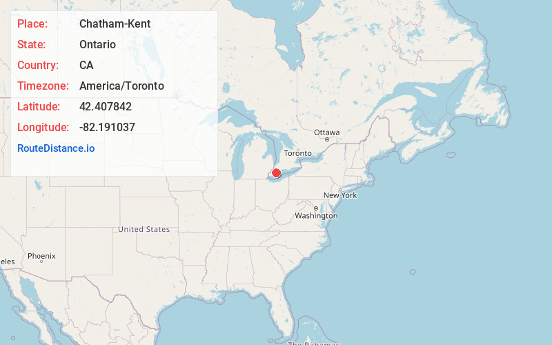
Full AddressChatham-Kent, ON, Canada
-
Coordinates42.4078419, -82.1910374
-
LocationChatham-Kent , Ontario , CA
-
TimezoneAmerica/Toronto
-
Current Local Time9:48:06 PM America/TorontoTuesday, June 17, 2025
-
Page Views0
About Chatham-Kent
Chatham-Kent is a single-tier municipality in Southwestern Ontario, Canada. It is mostly rural, and its population centres are Chatham, Wallaceburg, Tilbury, Blenheim, Ridgetown, Wheatley and Dresden.


Nearby Places
Found 10 places within 50 miles

Russell Island
22.2 mi
35.7 km
Russell Island, Clay Township, MI 48001
Get directions

Grande Pointe
22.4 mi
36.0 km
Grande Pointe, Clay Township, MI 48028
Get directions
Sans Souci
22.4 mi
36.0 km
Sans Souci, Clay Township, MI 48028
Get directions

Algonac
22.6 mi
36.4 km
Algonac, MI 48001
Get directions
Muirs
22.6 mi
36.4 km
Muirs, Clay Township, MI 48028
Get directions
Clays Landing
23.3 mi
37.5 km
Clays Landing, Clay Township, MI 48028
Get directions

Harsens Island
23.6 mi
38.0 km
Harsens Island, Clay Township, MI
Get directions
Bedore
23.9 mi
38.5 km
Bedore, Clay Township, MI 48028
Get directions
Roberts Landing
24.0 mi
38.6 km
Roberts Landing, MI 48039
Get directions

Clay Township
24.1 mi
38.8 km
Clay Township, MI
Get directions
Location Links
Local Weather
Weather Information
Coming soon!
Location Map
Static map view of Chatham-Kent, Ontario
Browse Places by Distance
Places within specific distances from Chatham-Kent
Short Distances
Long Distances
Click any distance to see all places within that range from Chatham-Kent. Distances shown in miles (1 mile ≈ 1.61 kilometers).