Distance to Cherokee, Kansas

Calculating Your Route
Just a moment while we process your request...
Location Information
-
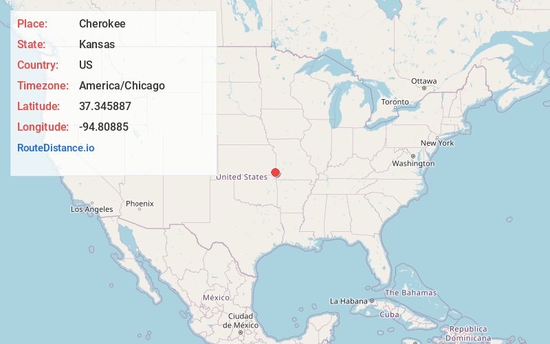
Full AddressCherokee, KS 66724
-
Coordinates37.3458874, -94.8088504
-
LocationCherokee , Kansas , US
-
TimezoneAmerica/Chicago
-
Current Local Time5:08:35 PM America/ChicagoThursday, June 5, 2025
-
Page Views0
About Cherokee
Cherokee is a city in Crawford County, Kansas, United States. As of the 2020 census, the population of the city was 590.


Nearby Places
Found 10 places within 50 miles

Weir
3.2 mi
5.1 km
Weir, KS 66781
Get directions

Pittsburg
7.3 mi
11.7 km
Pittsburg, KS 66762
Get directions

Frontenac
10.0 mi
16.1 km
Frontenac, KS
Get directions

Girard
11.5 mi
18.5 km
Girard, KS 66743
Get directions

Columbus
12.4 mi
20.0 km
Columbus, KS 66725
Get directions

Franklin
13.6 mi
21.9 km
Franklin, KS
Get directions

Arma
14.9 mi
24.0 km
Arma, KS 66712
Get directions

Carl Junction
17.8 mi
28.6 km
Carl Junction, MO
Get directions

Riverton
19.6 mi
31.5 km
Riverton, KS 66770
Get directions

Oswego
20.6 mi
33.2 km
Oswego, KS
Get directions
Location Links
Local Weather
Weather Information
Coming soon!
Location Map
Static map view of Cherokee, Kansas
Browse Places by Distance
Places within specific distances from Cherokee
Short Distances
Long Distances
Click any distance to see all places within that range from Cherokee. Distances shown in miles (1 mile ≈ 1.61 kilometers).