Distance to Riverton, Kansas

Calculating Your Route
Just a moment while we process your request...
Location Information
-
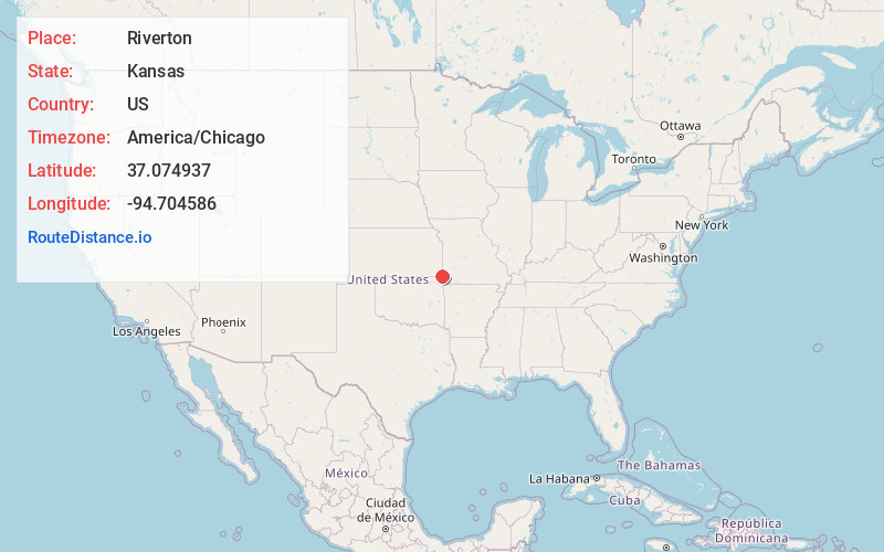
Full AddressRiverton, KS 66770
-
Coordinates37.0749367, -94.7045859
-
LocationRiverton , Kansas , US
-
TimezoneAmerica/Chicago
-
Current Local Time7:35:03 AM America/ChicagoSaturday, June 28, 2025
-
Page Views0
About Riverton
Riverton is a census-designated place in Cherokee County, Kansas, United States. As of the 2020 census, the population was 771. It is located at the junction of K-66 and U.S. Route 69 Alternate and U.S. Route 400, near the Spring River. It is one of only three communities in Kansas along former U.S. Route 66.

Nearby Places
Found 10 places within 50 miles

Galena
3.6 mi
5.8 km
Galena, KS 66739
Get directions

Baxter Springs
3.9 mi
6.3 km
Baxter Springs, KS 66713
Get directions

Loma Linda
8.8 mi
14.2 km
Loma Linda, MO
Get directions

Quapaw
9.5 mi
15.3 km
Quapaw, OK 74363
Get directions

Columbus
10.1 mi
16.3 km
Columbus, KS 66725
Get directions

Carl Junction
10.4 mi
16.7 km
Carl Junction, MO
Get directions

Joplin
10.6 mi
17.1 km
Joplin, MO
Get directions

Commerce
13.5 mi
21.7 km
Commerce, OK
Get directions
Duquesne
13.5 mi
21.7 km
Duquesne, MO
Get directions

Webb City
14.2 mi
22.9 km
Webb City, MO
Get directions
Location Links
Local Weather
Weather Information
Coming soon!
Location Map
Static map view of Riverton, Kansas
Browse Places by Distance
Places within specific distances from Riverton
Short Distances
Long Distances
Click any distance to see all places within that range from Riverton. Distances shown in miles (1 mile ≈ 1.61 kilometers).