Distance to Cherokee, Iowa

Calculating Your Route
Just a moment while we process your request...
Location Information
-
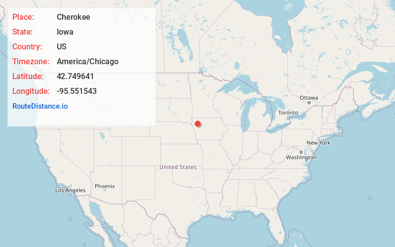
Full AddressCherokee, IA 51012
-
Coordinates42.7496413, -95.5515431
-
LocationCherokee , Iowa , US
-
TimezoneAmerica/Chicago
-
Current Local Time11:14:59 PM America/ChicagoMonday, June 30, 2025
-
Page Views0
About Cherokee
Cherokee is a city and the county seat of in Cherokee County, Iowa, United States. The population was 5,199 at the 2020 Census, down from 5,369 in 2000.
Nearby Places
Found 7 places within 50 miles

Storm Lake
19.2 mi
30.9 km
Storm Lake, IA 50588
Get directions

Orange City
31.2 mi
50.2 km
Orange City, IA
Get directions

Le Mars
31.3 mi
50.4 km
Le Mars, IA 51031
Get directions

Sheldon
33.6 mi
54.1 km
Sheldon, IA 51201
Get directions

Spencer
34.2 mi
55.0 km
Spencer, IA 51301
Get directions

Sioux Center
39.0 mi
62.8 km
Sioux Center, IA 51250
Get directions

Sioux City
46.8 mi
75.3 km
Sioux City, IA
Get directions
Location Links
Local Weather
Weather Information
Coming soon!
Location Map
Static map view of Cherokee, Iowa
Browse Places by Distance
Places within specific distances from Cherokee
Short Distances
Long Distances
Click any distance to see all places within that range from Cherokee. Distances shown in miles (1 mile ≈ 1.61 kilometers).