Distance to Cherry Hill, Michigan

Calculating Your Route
Just a moment while we process your request...
Location Information
-
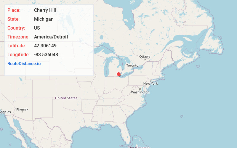
Full AddressCherry Hill, Canton, MI 48187
-
Coordinates42.3061486, -83.5360481
-
LocationCanton , Michigan , US
-
TimezoneAmerica/Detroit
-
Current Local Time4:36:09 AM America/DetroitThursday, May 22, 2025
-
Page Views0
About Cherry Hill
Cherry Hill is an unincorporated community in Wayne County in the U.S. state of Michigan. The community is located within Canton Township along Cherry Hill and Ridge Roads but otherwise has no legally defined boundaries or population statistics.
Nearby Places
Found 10 places within 50 miles

Canton
2.5 mi
4.0 km
Canton, MI
Get directions

Superior Township
3.5 mi
5.6 km
Superior Township, MI
Get directions

Sheldon
3.8 mi
6.1 km
Sheldon, Canton, MI 48188
Get directions

Frain Lake
4.2 mi
6.8 km
Frain Lake, Superior Township, MI 48105
Get directions
Brookville
5.4 mi
8.7 km
Brookville, Salem Township, MI 48170
Get directions
Eastlawn
5.6 mi
9.0 km
Eastlawn, Ypsilanti Township, MI 48198
Get directions

Plymouth
5.6 mi
9.0 km
Plymouth, MI 48170
Get directions

Ypsilanti
6.0 mi
9.7 km
Ypsilanti, MI
Get directions

Westland
7.1 mi
11.4 km
Westland, MI
Get directions
Edgewater Heights
7.2 mi
11.6 km
Edgewater Heights, Van Buren Twp, MI 48111
Get directions
Location Links
Local Weather
Weather Information
Coming soon!
Location Map
Static map view of Cherry Hill, Michigan
Browse Places by Distance
Places within specific distances from Cherry Hill
Short Distances
Long Distances
Click any distance to see all places within that range from Cherry Hill. Distances shown in miles (1 mile ≈ 1.61 kilometers).