Distance to Chester, New Hampshire

Calculating Your Route
Just a moment while we process your request...
Location Information
-
Full AddressChester, NH
-
Coordinates42.9567525, -71.2572846
-
LocationChester , New Hampshire , US
-
TimezoneAmerica/New_York
-
Current Local Time1:06:56 AM America/New_YorkMonday, June 9, 2025
-
Website
-
Page Views0
About Chester
Chester is a town in Rockingham County, New Hampshire, United States. The population was 5,232 at the 2020 census, up from 4,768 at the 2010 census. It was home to the now defunct Chester College.


Nearby Places
Found 10 places within 50 miles

Sandown
4.0 mi
6.4 km
Sandown, NH 03873
Get directions

Auburn
5.7 mi
9.2 km
Auburn, NH
Get directions

Derry
6.2 mi
10.0 km
Derry, NH 03038
Get directions

Raymond
6.6 mi
10.6 km
Raymond, NH
Get directions

Hampstead
6.9 mi
11.1 km
Hampstead, NH
Get directions

Londonderry
9.3 mi
15.0 km
Londonderry, NH
Get directions

Atkinson
9.9 mi
15.9 km
Atkinson, NH
Get directions

Manchester
10.3 mi
16.6 km
Manchester, NH
Get directions

Windham
10.3 mi
16.6 km
Windham, NH 03087
Get directions

Kingston
10.4 mi
16.7 km
Kingston, NH
Get directions
Location Links
Local Weather
Weather Information
Coming soon!
Location Map
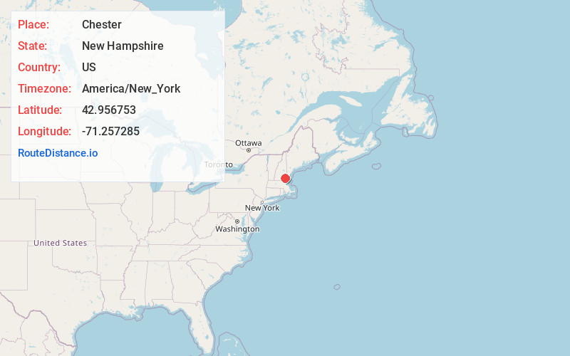
Static map view of Chester, New Hampshire
Browse Places by Distance
Places within specific distances from Chester
Short Distances
Long Distances
Click any distance to see all places within that range from Chester. Distances shown in miles (1 mile ≈ 1.61 kilometers).