Distance to Chesterbrook, Pennsylvania

Calculating Your Route
Just a moment while we process your request...
Location Information
-
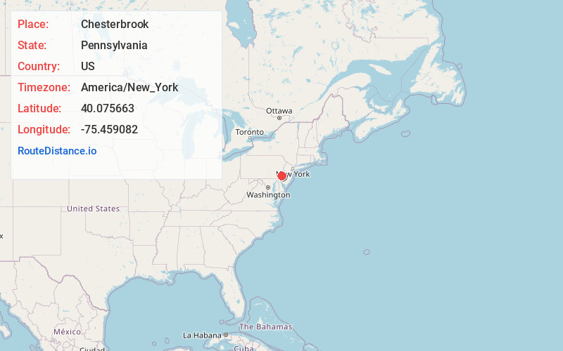
Full AddressChesterbrook, PA
-
Coordinates40.0756627, -75.4590816
-
LocationChesterbrook , Pennsylvania , US
-
TimezoneAmerica/New_York
-
Current Local Time2:16:15 PM America/New_YorkTuesday, July 1, 2025
-
Page Views0
About Chesterbrook
Chesterbrook is a census-designated place in Chester County, Pennsylvania, United States. It is located within the Philadelphia metropolitan area and just south of Valley Forge National Historical Park. The population was 4,589 at the 2010 census.


Nearby Places
Found 10 places within 50 miles

Tredyffrin Township
1.2 mi
1.9 km
Tredyffrin Township, PA
Get directions

Paoli
2.8 mi
4.5 km
Paoli, PA
Get directions

Easttown Township
3.5 mi
5.6 km
Easttown Township, PA
Get directions

Audubon
3.9 mi
6.3 km
Audubon, PA
Get directions

Wayne
4.0 mi
6.4 km
Wayne, PA 19087
Get directions

King of Prussia
4.4 mi
7.1 km
King of Prussia, PA
Get directions

Phoenixville
4.8 mi
7.7 km
Phoenixville, PA 19460
Get directions

Lower Providence Township
5.1 mi
8.2 km
Lower Providence Township, PA
Get directions

Charlestown Township
5.2 mi
8.4 km
Charlestown Township, PA
Get directions

Upper Merion Township
5.3 mi
8.5 km
Upper Merion Township, PA
Get directions
Location Links
Local Weather
Weather Information
Coming soon!
Location Map
Static map view of Chesterbrook, Pennsylvania
Browse Places by Distance
Places within specific distances from Chesterbrook
Short Distances
Long Distances
Click any distance to see all places within that range from Chesterbrook. Distances shown in miles (1 mile ≈ 1.61 kilometers).