Distance to Chestnutridge, Missouri

Calculating Your Route
Just a moment while we process your request...
Location Information
-
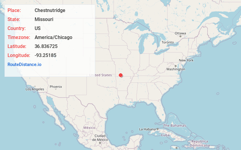
Full AddressChestnutridge, MO 65630
-
Coordinates36.8367245, -93.2518496
-
LocationChestnutridge , Missouri , US
-
TimezoneAmerica/Chicago
-
Current Local Time2:21:04 PM America/ChicagoFriday, June 13, 2025
-
Page Views0
About Chestnutridge
Chestnutridge is an unincorporated community in southwestern Christian County, Missouri, United States and is located approximately fourteen miles south of Ozark and about 3.5 miles southeast of Spokane. The community is located on Chestnut Ridge, at an elevation of 1325 feet.
Nearby Places
Found 10 places within 50 miles

Day
1.7 mi
2.7 km
Day, Jasper Township, MO 65771
Get directions

Saddlebrooke
3.1 mi
5.0 km
Saddlebrooke, MO
Get directions

Spokane
3.5 mi
5.6 km
Spokane, MO 65754
Get directions
Green Mound Ridge
3.8 mi
6.1 km
Green Mound Ridge, South Galloway Township, MO 65669
Get directions
Tauria
5.6 mi
9.0 km
Tauria, Ruth a Township, MO 65737
Get directions
Ponce De Leon
6.1 mi
9.8 km
Ponce De Leon, MO 65669
Get directions

Highlandville
6.8 mi
10.9 km
Highlandville, MO
Get directions
Stutts
7.2 mi
11.6 km
Stutts, Ruth a Township, MO 65737
Get directions
Montague
7.6 mi
12.2 km
Montague, MO 65669
Get directions
Pine Ridge
7.7 mi
12.4 km
Pine Ridge, MO 65629
Get directions
Location Links
Local Weather
Weather Information
Coming soon!
Location Map
Static map view of Chestnutridge, Missouri
Browse Places by Distance
Places within specific distances from Chestnutridge
Short Distances
Long Distances
Click any distance to see all places within that range from Chestnutridge. Distances shown in miles (1 mile ≈ 1.61 kilometers).