Distance to Chismville Gas Field, Arkansas

Calculating Your Route
Just a moment while we process your request...
Location Information
-
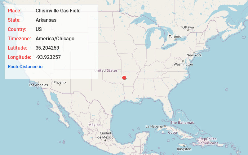
Full AddressChismville Gas Field, Arkansas 72927
-
Coordinates35.2042586, -93.9232572
-
LocationArkansas , US
-
TimezoneAmerica/Chicago
-
Current Local Time3:06:27 AM America/ChicagoWednesday, June 18, 2025
-
Page Views0
Nearby Places
Found 10 places within 50 miles

Booneville
4.4 mi
7.1 km
Booneville, AR 72927
Get directions

Branch
7.2 mi
11.6 km
Branch, AR
Get directions

Ratcliff
7.5 mi
12.1 km
Ratcliff, AR 72951
Get directions
Caulksville
7.5 mi
12.1 km
Caulksville, AR
Get directions

Magazine
7.6 mi
12.2 km
Magazine, AR 72943
Get directions
Mixon
8.2 mi
13.2 km
Mixon, AR 72927
Get directions
Carolan
8.3 mi
13.4 km
Carolan, AR 72927
Get directions
Driggs
8.8 mi
14.2 km
Driggs, AR 72943
Get directions
Barber
9.0 mi
14.5 km
Barber, AR 72927
Get directions
Charleston
9.4 mi
15.1 km
Charleston, AR 72933
Get directions
Location Links
Local Weather
Weather Information
Coming soon!
Location Map
Static map view of Chismville Gas Field, Arkansas
Browse Places by Distance
Places within specific distances from Chismville Gas Field
Short Distances
Long Distances
Click any distance to see all places within that range from Chismville Gas Field. Distances shown in miles (1 mile ≈ 1.61 kilometers).