Distance to Chloeta, Oklahoma

Calculating Your Route
Just a moment while we process your request...
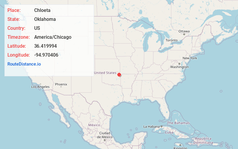
Location Information
-
Full AddressChloeta, OK 74342
-
Coordinates36.419994, -94.970406
-
LocationChloeta , Oklahoma , US
-
TimezoneAmerica/Chicago
-
Current Local Time4:35:15 PM America/ChicagoSunday, June 1, 2025
-
Page Views0
About Chloeta
Chloeta is a community located on State Highway 20 in Delaware County, Oklahoma, United States, north of Spavinaw Lake. The post office existed from April 18, 1898, until January 31, 1914.
Nearby Places
Found 10 places within 50 miles

Spavinaw
4.7 mi
7.6 km
Spavinaw, OK 74366
Get directions

Disney
4.9 mi
7.9 km
Disney, OK 74340
Get directions

Langley
5.3 mi
8.5 km
Langley, OK
Get directions

Old Eucha
5.4 mi
8.7 km
Old Eucha, OK
Get directions

New Eucha
6.7 mi
10.8 km
New Eucha, OK
Get directions
Tagg Flats
6.7 mi
10.8 km
Tagg Flats, OK
Get directions
Kenwood
7.3 mi
11.7 km
Kenwood, OK 74365
Get directions

Ketchum
7.8 mi
12.6 km
Ketchum, OK
Get directions

Bull Hollow
8.1 mi
13.0 km
Bull Hollow, OK
Get directions
Zena
8.4 mi
13.5 km
Zena, OK 74346
Get directions
Location Links
Local Weather
Weather Information
Coming soon!
Location Map
Static map view of Chloeta, Oklahoma
Browse Places by Distance
Places within specific distances from Chloeta
Short Distances
Long Distances
Click any distance to see all places within that range from Chloeta. Distances shown in miles (1 mile ≈ 1.61 kilometers).