Distance to Tagg Flats, Oklahoma

Calculating Your Route
Just a moment while we process your request...
Location Information
-
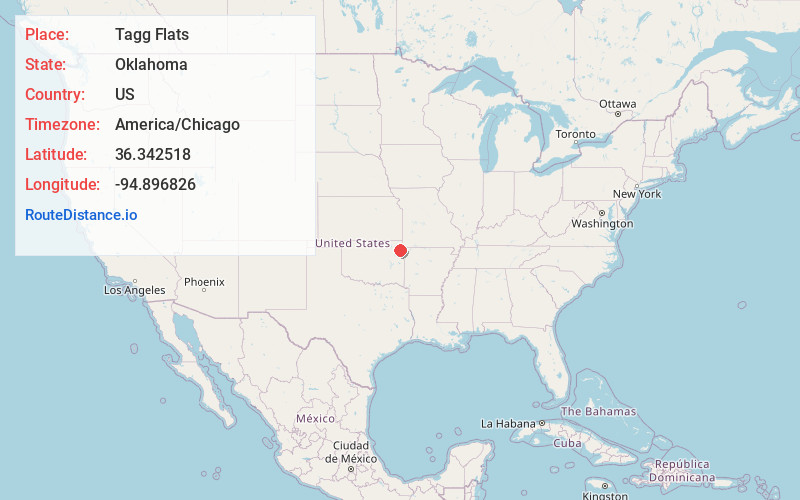
Full AddressTagg Flats, OK
-
Coordinates36.3425183, -94.8968255
-
LocationTagg Flats , Oklahoma , US
-
TimezoneAmerica/Chicago
-
Current Local Time6:57:03 AM America/ChicagoThursday, May 22, 2025
-
Page Views0
About Tagg Flats
Tagg Flats is a census-designated place in Delaware County, Oklahoma, United States. The population was 13 at the 2010 census.
Nearby Places
Found 10 places within 50 miles

Bull Hollow
2.1 mi
3.4 km
Bull Hollow, OK
Get directions

Old Eucha
2.7 mi
4.3 km
Old Eucha, OK
Get directions

New Eucha
3.8 mi
6.1 km
New Eucha, OK
Get directions
Kenwood
5.3 mi
8.5 km
Kenwood, OK 74365
Get directions

Jay
7.8 mi
12.6 km
Jay, OK 74346
Get directions
Brush Creek
8.0 mi
12.9 km
Brush Creek, OK 74346
Get directions
Cloud Creek
8.8 mi
14.2 km
Cloud Creek, OK
Get directions

Spavinaw
9.0 mi
14.5 km
Spavinaw, OK 74366
Get directions
Leach
9.6 mi
15.4 km
Leach, OK 74364
Get directions
Zena
10.9 mi
17.5 km
Zena, OK 74346
Get directions
Location Links
Local Weather
Weather Information
Coming soon!
Location Map
Static map view of Tagg Flats, Oklahoma
Browse Places by Distance
Places within specific distances from Tagg Flats
Short Distances
Long Distances
Click any distance to see all places within that range from Tagg Flats. Distances shown in miles (1 mile ≈ 1.61 kilometers).