Distance to Zena, Oklahoma

Calculating Your Route
Just a moment while we process your request...
Location Information
-
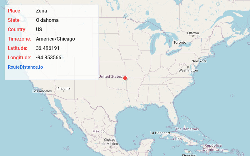
Full AddressZena, OK 74346
-
Coordinates36.4961907, -94.8535659
-
LocationZena , Oklahoma , US
-
TimezoneAmerica/Chicago
-
Current Local Time8:19:46 PM America/ChicagoSunday, June 1, 2025
-
Page Views0
About Zena
Zena is a census-designated place in Delaware County, Oklahoma, United States, along State Highway 127. The population was 122 at the 2010 census. Established on Courthouse Prairie in District 5 of the old Indian Territory, its post office existed from April 11, 1896, until January 31, 1956.
Nearby Places
Found 10 places within 50 miles

Dennis
2.9 mi
4.7 km
Dennis, OK 74346
Get directions
Stoney Point
4.4 mi
7.1 km
Stoney Point, Dennis, OK 74346
Get directions

Jay
6.1 mi
9.8 km
Jay, OK 74346
Get directions

New Eucha
7.6 mi
12.2 km
New Eucha, OK
Get directions
Cleora
7.8 mi
12.6 km
Cleora, OK 74331
Get directions

Grove
8.2 mi
13.2 km
Grove, OK 74344
Get directions

Bernice
9.0 mi
14.5 km
Bernice, OK 74331
Get directions

Ketchum
9.7 mi
15.6 km
Ketchum, OK
Get directions

Langley
11.0 mi
17.7 km
Langley, OK
Get directions

Copeland
11.2 mi
18.0 km
Copeland, OK
Get directions
Location Links
Local Weather
Weather Information
Coming soon!
Location Map
Static map view of Zena, Oklahoma
Browse Places by Distance
Places within specific distances from Zena
Short Distances
Long Distances
Click any distance to see all places within that range from Zena. Distances shown in miles (1 mile ≈ 1.61 kilometers).