Distance to Chowan County, North Carolina

Calculating Your Route
Just a moment while we process your request...
Location Information
-
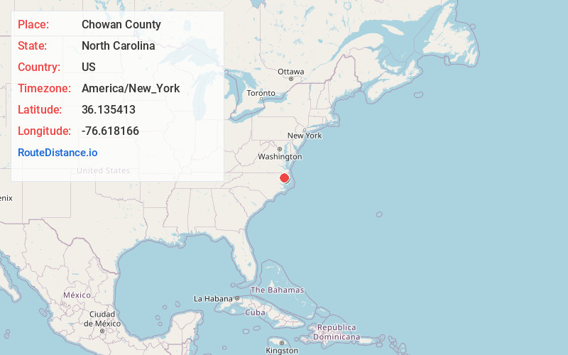
Full AddressChowan County, NC
-
Coordinates36.1354131, -76.6181655
-
LocationNorth Carolina , US
-
TimezoneAmerica/New_York
-
Current Local Time12:58:30 PM America/New_YorkTuesday, June 17, 2025
-
Page Views0
About Chowan County
Chowan County is one of the 100 counties located in the U.S. state of North Carolina. As of the 2020 census, the population was 13,708. Its county seat is Edenton. The county was created between 1668 and 1671 as Shaftesbury Precinct and later renamed Chowan Precinct. It gained county status in 1739.


Nearby Places
Found 10 places within 50 miles

Valhalla
2.2 mi
3.5 km
Valhalla, NC 27932
Get directions
Mavaton
3.0 mi
4.8 km
Mavaton, NC 27932
Get directions
Cisco
3.9 mi
6.3 km
Cisco, NC 27980
Get directions
Rockyhock Creek
4.3 mi
6.9 km
Rockyhock Creek, North Carolina 27932
Get directions
Yeopim Station
5.3 mi
8.5 km
Yeopim Station, NC 27944
Get directions

Edenton
5.4 mi
8.7 km
Edenton, NC 27932
Get directions
Center Hill
5.5 mi
8.9 km
Center Hill, NC 27980
Get directions
Mill Crossroads
6.6 mi
10.6 km
Mill Crossroads, NC 27932
Get directions
Mt Gould Landing
7.0 mi
11.3 km
Mt Gould Landing, NC 27957
Get directions

Chowan Beach
7.6 mi
12.2 km
Chowan Beach, NC 27932
Get directions
Location Links
Local Weather
Weather Information
Coming soon!
Location Map
Static map view of Chowan County, North Carolina
Browse Places by Distance
Places within specific distances from Chowan County
Short Distances
Long Distances
Click any distance to see all places within that range from Chowan County. Distances shown in miles (1 mile ≈ 1.61 kilometers).