Distance to Churubusco, Indiana

Calculating Your Route
Just a moment while we process your request...
Location Information
-
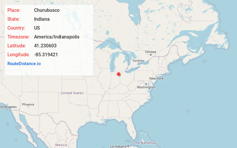
Full AddressChurubusco, IN 46723
-
Coordinates41.2306034, -85.3194208
-
LocationChurubusco , Indiana , US
-
TimezoneAmerica/Indianapolis
-
Website
-
Page Views0
About Churubusco
Churubusco; often shortened to Busco, is a town located near the headwaters of the Eel River in the extreme northeast corner of Whitley County, Indiana, United States, in Smith Township, about 16 miles northwest of Fort Wayne. The population was 1,796 at the 2010 census.


Nearby Places
Found 10 places within 50 miles

Huntertown
7.6 mi
12.2 km
Huntertown, IN
Get directions

Columbia City
10.1 mi
16.3 km
Columbia City, IN 46725
Get directions

Avilla
10.2 mi
16.4 km
Avilla, IN 46710
Get directions

Garrett
12.6 mi
20.3 km
Garrett, IN
Get directions

Albion
12.6 mi
20.3 km
Albion, IN 46701
Get directions

Fort Wayne
14.1 mi
22.7 km
Fort Wayne, IN
Get directions

Kendallville
14.8 mi
23.8 km
Kendallville, IN 46755
Get directions

Leo-Cedarville
15.8 mi
25.4 km
Leo-Cedarville, IN
Get directions

Auburn
16.5 mi
26.6 km
Auburn, IN
Get directions

New Haven
19.3 mi
31.1 km
New Haven, IN
Get directions
Location Links
Local Weather
Weather Information
Coming soon!
Location Map
Static map view of Churubusco, Indiana
Browse Places by Distance
Places within specific distances from Churubusco
Short Distances
Long Distances
Click any distance to see all places within that range from Churubusco. Distances shown in miles (1 mile ≈ 1.61 kilometers).