Distance to Cima, California

Calculating Your Route
Just a moment while we process your request...
Location Information
-
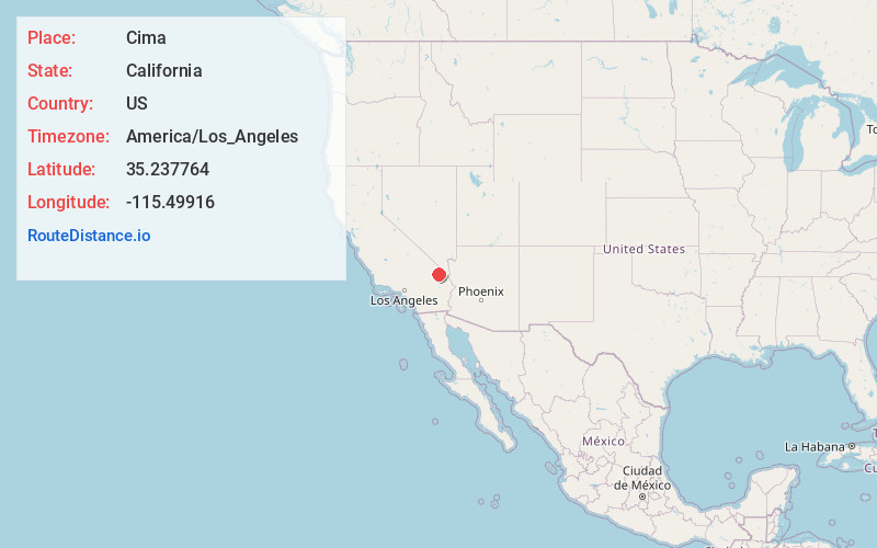
Full AddressCima, CA 92364
-
Coordinates35.2377644, -115.4991602
-
LocationCima , California , US
-
TimezoneAmerica/Los_Angeles
-
Current Local Time8:42:06 PM America/Los_AngelesSunday, June 22, 2025
-
Page Views0
About Cima
Cima is a small unincorporated community in the Mojave Desert of San Bernardino County, California, in the United States. It lies in a mountain pass on the divide between the Ivanpah Valley and the Mojave River basin, at an elevation of 4,175 feet.


Nearby Places
Found 10 places within 50 miles

Elora
7.1 mi
11.4 km
Elora, CA
Get directions
Brant
8.2 mi
13.2 km
Brant, CA 92364
Get directions

Rainbow Wells
8.9 mi
14.3 km
Rainbow Wells, CA
Get directions
Ivanpah
12.8 mi
20.6 km
Ivanpah, CA 92364
Get directions
Hayden
14.8 mi
23.8 km
Hayden, CA 92332
Get directions

Barnwell
15.3 mi
24.6 km
Barnwell, CA 92364
Get directions

Vanderbilt
15.4 mi
24.8 km
Vanderbilt, CA 92364
Get directions

Wheaton Springs
15.6 mi
25.1 km
Wheaton Springs, CA 92364
Get directions

Mountain Pass
16.3 mi
26.2 km
Mountain Pass, CA 92364
Get directions
Moore
16.9 mi
27.2 km
Moore, CA
Get directions
Location Links
Local Weather
Weather Information
Coming soon!
Location Map
Static map view of Cima, California
Browse Places by Distance
Places within specific distances from Cima
Short Distances
Long Distances
Click any distance to see all places within that range from Cima. Distances shown in miles (1 mile ≈ 1.61 kilometers).