Distance to Claremont, Minnesota

Calculating Your Route
Just a moment while we process your request...
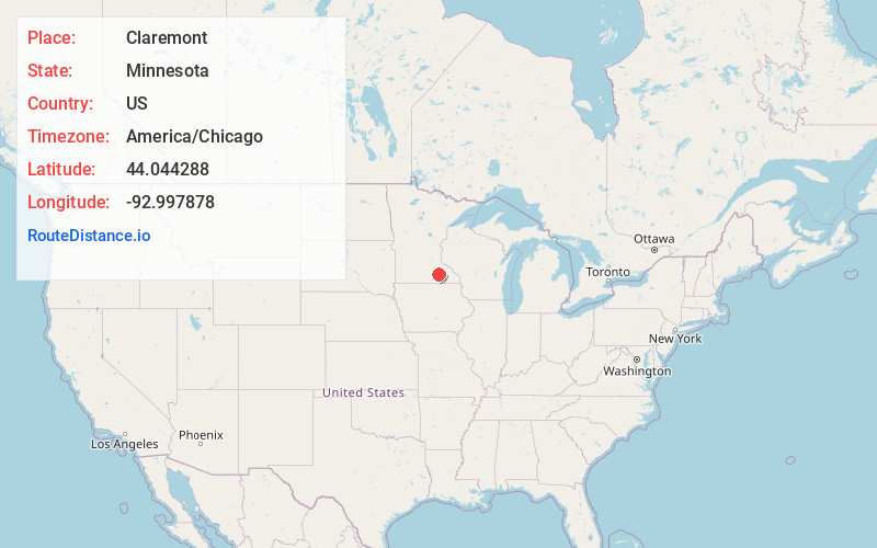
Location Information
-
Full AddressClaremont, MN 55924
-
Coordinates44.0442876, -92.9978784
-
LocationClaremont , Minnesota , US
-
TimezoneAmerica/Chicago
-
Current Local Time1:21:53 AM America/ChicagoMonday, June 2, 2025
-
Page Views0
About Claremont
Claremont is a city in Dodge County, Minnesota, United States. Located along U.S. Highway 14, Claremont lies in southeastern Minnesota and is part of the Rochester metropolitan area. The city had a population of 513 according to the 2020 census.


Nearby Places
Found 10 places within 50 miles

Dodge Center
7.2 mi
11.6 km
Dodge Center, MN 55927
Get directions

West Concord
8.9 mi
14.3 km
West Concord, MN 55985
Get directions

Owatonna
11.7 mi
18.8 km
Owatonna, MN
Get directions

Mantorville
12.1 mi
19.5 km
Mantorville, MN
Get directions

Kasson
12.3 mi
19.8 km
Kasson, MN
Get directions

Blooming Prairie
12.5 mi
20.1 km
Blooming Prairie, MN 55917
Get directions

Hayfield
13.0 mi
20.9 km
Hayfield, MN 55940
Get directions

Medford
15.2 mi
24.5 km
Medford, MN 55049
Get directions

Kenyon
15.8 mi
25.4 km
Kenyon, MN 55946
Get directions

Byron
17.5 mi
28.2 km
Byron, MN 55920
Get directions
Location Links
Local Weather
Weather Information
Coming soon!
Location Map
Static map view of Claremont, Minnesota
Browse Places by Distance
Places within specific distances from Claremont
Short Distances
Long Distances
Click any distance to see all places within that range from Claremont. Distances shown in miles (1 mile ≈ 1.61 kilometers).