Distance to Clarksville, New Hampshire

Calculating Your Route
Just a moment while we process your request...
Location Information
-
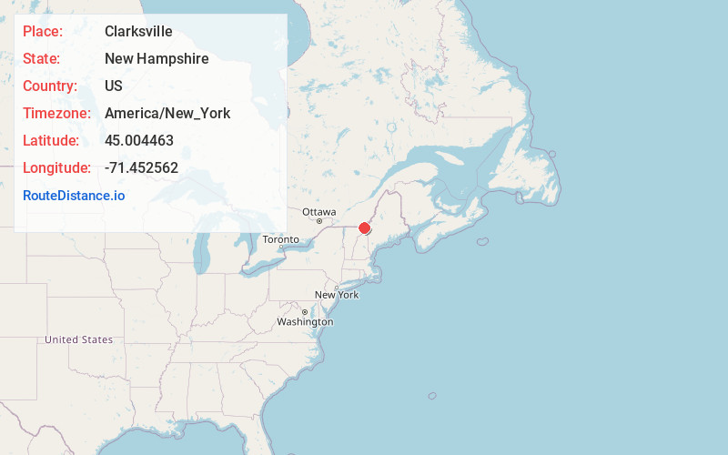
Full AddressClarksville, NH
-
Coordinates45.0044626, -71.4525617
-
LocationClarksville , New Hampshire , US
-
TimezoneAmerica/New_York
-
Current Local Time7:32:51 PM America/New_YorkSunday, June 1, 2025
-
Page Views0
About Clarksville
Clarksville is a town in northern Coös County, New Hampshire, United States. The population was 294 at the 2020 census. It is part of the Berlin, NH-VT Micropolitan Statistical Area.


Nearby Places
Found 10 places within 50 miles

Stewartstown
2.7 mi
4.3 km
Stewartstown, NH 03576
Get directions

Canaan
4.2 mi
6.8 km
Canaan, VT
Get directions

Colebrook
7.9 mi
12.7 km
Colebrook, NH 03576
Get directions

Pittsburg
8.6 mi
13.8 km
Pittsburg, NH
Get directions

Columbia
11.6 mi
18.7 km
Columbia, NH
Get directions

Brighton
24.0 mi
38.6 km
Brighton, VT
Get directions

Stratford
24.7 mi
39.8 km
Stratford, NH
Get directions

Morgan
26.7 mi
43.0 km
Morgan, VT
Get directions
Holland
27.0 mi
43.5 km
Holland, VT
Get directions

Stark
27.9 mi
44.9 km
Stark, NH 03582
Get directions
Location Links
Local Weather
Weather Information
Coming soon!
Location Map
Static map view of Clarksville, New Hampshire
Browse Places by Distance
Places within specific distances from Clarksville
Short Distances
Long Distances
Click any distance to see all places within that range from Clarksville. Distances shown in miles (1 mile ≈ 1.61 kilometers).