Distance to Stark, New Hampshire

Calculating Your Route
Just a moment while we process your request...
Location Information
-
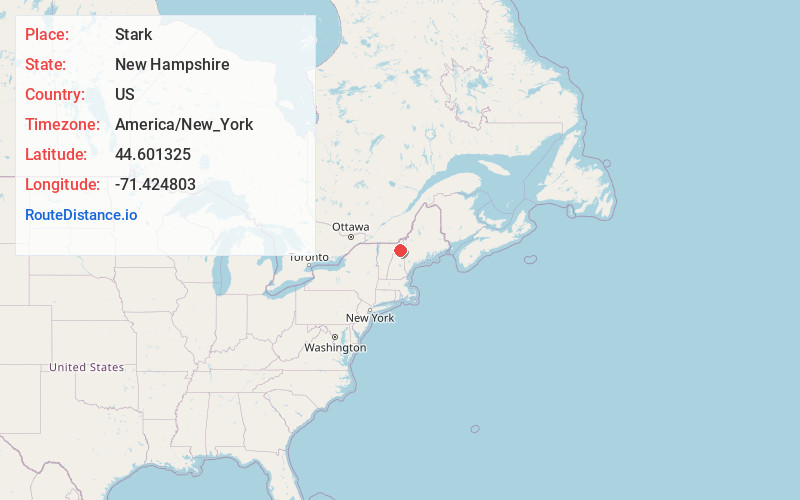
Full AddressStark, NH 03582
-
Coordinates44.601325, -71.4248025
-
LocationStark , New Hampshire , US
-
TimezoneAmerica/New_York
-
Current Local Time5:22:37 PM America/New_YorkWednesday, June 18, 2025
-
Page Views0
About Stark
Stark is a town in Coös County, New Hampshire, United States. The population was 478 at the 2020 census, a decline from the figure of 556 tabulated in 2010. It has a famous covered bridge. The town includes the villages of Percy and Crystal as well as the village of Stark, located on the Upper Ammonoosuc River.


Nearby Places
Found 10 places within 50 miles

Northumberland
4.3 mi
6.9 km
Northumberland, NH
Get directions

Stratford
7.5 mi
12.1 km
Stratford, NH
Get directions

Lancaster
10.6 mi
17.1 km
Lancaster, NH
Get directions

Milan
12.0 mi
19.3 km
Milan, NH 03588
Get directions

Jefferson
12.8 mi
20.6 km
Jefferson, NH
Get directions

Berlin
14.9 mi
24.0 km
Berlin, NH
Get directions

Lunenburg
15.9 mi
25.6 km
Lunenburg, VT
Get directions

Whitefield
18.3 mi
29.5 km
Whitefield, NH
Get directions

Columbia
18.4 mi
29.6 km
Columbia, NH
Get directions

Dalton
18.5 mi
29.8 km
Dalton, NH 03598
Get directions
Location Links
Local Weather
Weather Information
Coming soon!
Location Map
Static map view of Stark, New Hampshire
Browse Places by Distance
Places within specific distances from Stark
Short Distances
Long Distances
Click any distance to see all places within that range from Stark. Distances shown in miles (1 mile ≈ 1.61 kilometers).