Distance to Clarksville, Illinois

Calculating Your Route
Just a moment while we process your request...
Location Information
-
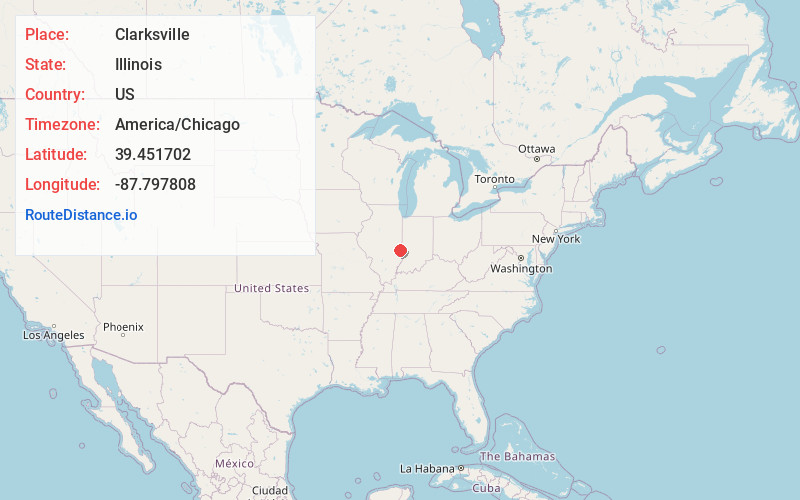
Full AddressClarksville, IL 62441
-
Coordinates39.451702, -87.7978078
-
LocationClarksville , Illinois , US
-
TimezoneAmerica/Chicago
-
Current Local Time10:53:36 PM America/ChicagoFriday, June 20, 2025
-
Page Views0
About Clarksville
Clarksville is an unincorporated community approximately ten kilometers northwest of the city of Marshall in east central Illinois. The village lies in on the north edge of Clark County in Dolson Township.
Nearby Places
Found 10 places within 50 miles

Castle Fin
3.7 mi
6.0 km
Castle Fin, Douglas Township, IL 62441
Get directions
Clark County
4.9 mi
7.9 km
Clark County, IL
Get directions

Clark Center
6.2 mi
10.0 km
Clark Center, IL 62441
Get directions

Marshall
6.9 mi
11.1 km
Marshall, IL 62441
Get directions
Dudley
9.1 mi
14.6 km
Dudley, Grandview Township, IL 61933
Get directions

Martinsville
9.2 mi
14.8 km
Martinsville, IL 62442
Get directions
McKeen
9.8 mi
15.8 km
McKeen, Wabash Township, IL 62441
Get directions

Kansas
10.3 mi
16.6 km
Kansas, IL 61933
Get directions
Marley
10.6 mi
17.1 km
Marley, Elbridge Township, IL 61944
Get directions
Oilfield
10.9 mi
17.5 km
Oilfield, Parker Township, IL 62420
Get directions
Location Links
Local Weather
Weather Information
Coming soon!
Location Map
Static map view of Clarksville, Illinois
Browse Places by Distance
Places within specific distances from Clarksville
Short Distances
Long Distances
Click any distance to see all places within that range from Clarksville. Distances shown in miles (1 mile ≈ 1.61 kilometers).