Distance to Clay Township, Indiana

Calculating Your Route
Just a moment while we process your request...
Location Information
-
Full AddressClay Township, IN
-
Coordinates41.7287009, -86.2260131
-
LocationClay Township , Indiana , US
-
TimezoneAmerica/Indianapolis
-
Page Views0
About Clay Township
Clay Township is one of 13 townships in St. Joseph County, in the U.S. state of Indiana. As of the 2020 census, its population was 34,235.
Nearby Places
Found 10 places within 50 miles

Indian Village
1.1 mi
1.8 km
Indian Village, IN 46637
Get directions

Roseland
1.6 mi
2.6 km
Roseland, IN
Get directions

Maple Lane
2.0 mi
3.2 km
Maple Lane, South Bend, IN 46637
Get directions

Saint Marys Lake
2.0 mi
3.2 km
Saint Marys Lake, Notre Dame, IN 46556
Get directions

Notre Dame
2.1 mi
3.4 km
Notre Dame, IN 46556
Get directions

South Bend
3.9 mi
6.3 km
South Bend, IN
Get directions

Milton Township
5.1 mi
8.2 km
Milton Township, MI 49120
Get directions
Ardmore
5.5 mi
8.9 km
Ardmore, IN 46628
Get directions

Mishawaka
5.8 mi
9.3 km
Mishawaka, IN
Get directions

Granger
6.2 mi
10.0 km
Granger, IN
Get directions
Location Links
Local Weather
Weather Information
Coming soon!
Location Map
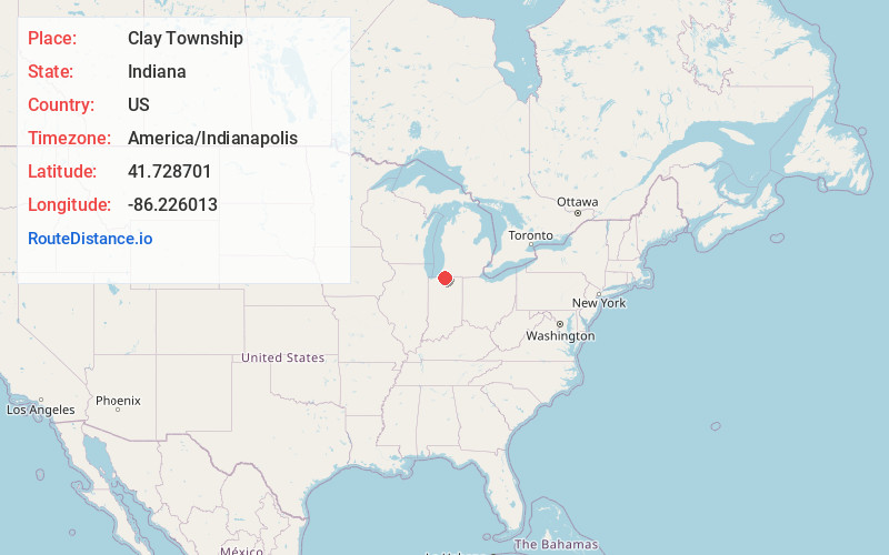
Static map view of Clay Township, Indiana
Browse Places by Distance
Places within specific distances from Clay Township
Short Distances
Long Distances
Click any distance to see all places within that range from Clay Township. Distances shown in miles (1 mile ≈ 1.61 kilometers).